Old Ordnance Survey Maps of Greater Manchester

  • These detailed maps normally cover an area of about one and a half miles by one mile. Each map includes an introduction.
  • They are available through our On-line Mapshop

  • Here are the details of maps for Withington:

  • Lancs 111.07a Withington 1892 - published 2012; intro by Chris Makepeace. ISBN.978-1-84784-633-4
  • Lancs 111.07b Withington & Burnage 1916 - published 1996; intro by Chris Makepeace. ISBN.978-0-85054-800-6
  • Lancs 111.07c Withington, Ladybarn & Burnage 1934 - published 2019; intro by Chris Makepeace. ISBN.978-1-78721-291-6

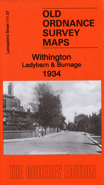
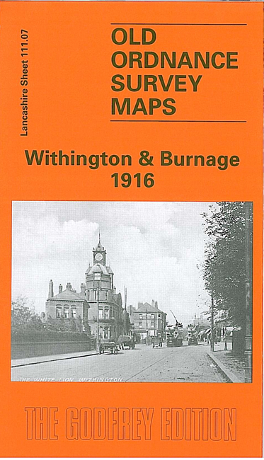
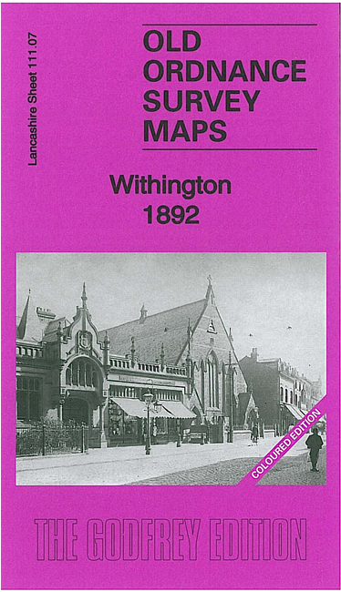
    We have published three versions of this detailed map, showing how the area changed across the years. The 1892 version is fully coloured, taken from the beautiful 1st Edition handcoloured map.

    The maps (which cover the same area, despite the slightly different titles), show much of Withington on the western side of the map; coverage then extends eastward to Burnage and Burnage Lane. Features on the 1916 map include the LNWR Wilmslow & Levenshulme line with Mauldeth Road station, Ladybarn, St Margaret's church Burnage, Palatine Road with tramways, St Paul's church, Yewtree Farm, Withington House, Withington Hall, etc. Each map includes a selection of street directory entries.

    The map links up with sheets 111.03 Fallowfield to the north, 111.06 Barlow Moor to the west and 111.08 Heaton Chapel to the east and 111.11 Didsbury Heaton Mersey to the south.


  • Follow this link for a complete list of our Manchester or Salford maps.
  • You can order maps direct from our On-line Mapshop. For other information and prices, and other areas, go to The Index Page.
  • Maps in the Godfrey Edition are taken from the 25 inch to the mile map and reduced to about 15 inches to the mile. For a full list of maps for the North West, return to the North West page.
    The Godfrey Edition / sales@alangodfreymaps.co.uk / 29 November 2019