 Old Ordnance Survey Maps of East LancashireOld Ordnance Survey Maps of East Lancashire
 We have a good range of maps for East Lancashire, including maps for Accrington, Blackburn, Burnley and several other towns..
Here are the details.
We have a good range of maps for East Lancashire, including maps for Accrington, Blackburn, Burnley and several other towns..
Here are the details.
All maps are available from our On-line Mapshop or from selected bookshops in the area.
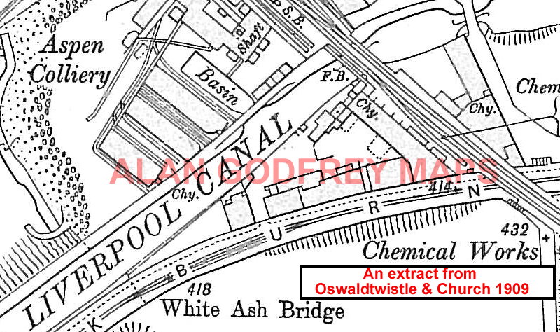
The following maps are taken from the OS 25" maps and reduced to a scale of approximately 15 inches to the mile. They are extremely detailed, showing individual houses, details such as railway tracks, pathways, pubs, factories and even minutiae such as fountains and signal posts. Obviously they cover quite a small area, normally a mile by a mile and a half each. Each map includes an introduction. For further details click on the links below.
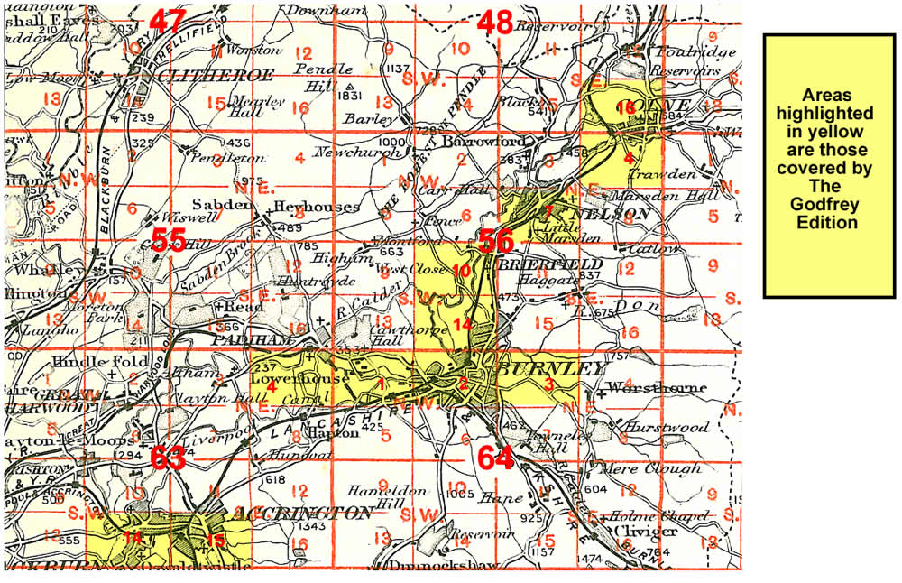
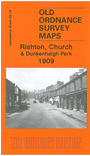 Here are the maps for East Lancashire, including Blackburn and Burnley:

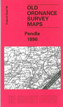 Several Inch to the Mile Maps also cover this area, the principal ones for East Lancashire being:
For further details of our Inch to the Mile maps go to the One Inch page
