
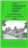
 Here are the details of maps for Crystal Palace:
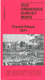

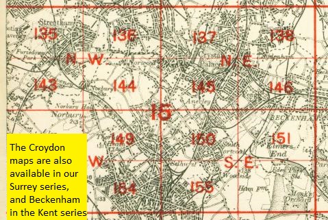
The two maps listed here are from different series, for Kent and London, and so the sheetlines are somewhat different.
The sheetlines of the early Kent series map are kinder to the Crystal Palace itself. This is at the heart of a most attractive map, Sheet 7.10, which covers the Crystal Palace - the map even shows the interior layout - and the grounds in all their glory. The map stretches from Gipsy Hill station eastward to Penge station on the LCD line, from Crystal Palace station northward to Upper Sydenham and Wells Road. A more detailed plan of the Palace, from the Illustrated London News, is on the reverse. The map links up with Kent Sheet 7.14 Anerley & Penge to the south.
The sheetlines for Sheet 146 are slightly different and are really centred on Anerley Hill. This map just covers part of the Crystal Palace, at the top of the map, and covers an area southward to South Norwood Lake, from Beulah Hill eastward to Maple Road and Penge Recreation Ground. Features include Crystal Palace (Low Level) station, Penge and Anerley stations on the Brighton line, Queen's Hotel, Central Hill, Westow Hill, the western part of Penge, North Surrey District Schools, and much of Anerley. On the reverse are street directories for Auckland Road, Churcfh Road, Westow Hill and Westow Street.
The map links up with London Sheets 137 Upper Sydenham to the north, 144 Norbury to the west, 146 Beckenham to the east and 150 South Norwood to the south.
 Follow this link for a complete list of our London maps .