
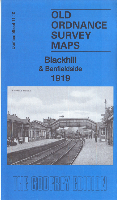
 Here are the details of maps for Blackhill & Shotley Bridge:
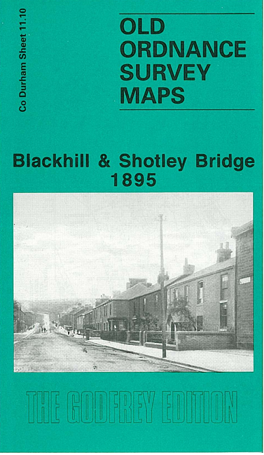

We have published two versions of this map, showing how the area changed across the years. The maps cover the area from the centre of Shotley Bridge (extreme NW corner of map) and Benfieldside, southward to Consett Park and eastward to Medomsley Road.
Features include railway with Blackhill station, St Cuthbert's church, Benfieldside House, Cutlers' Hall, St Mary's RC church, Mechanics Institute, Cemetery, Consett Park, Olympia Picture Theatre, quarries, old coal shafts, schools, chapels, Bridge Hill, No.1 Farm, etc. The 1919 version includes a 1906 directory of Blackhill from Kelly's Directory.
The 1895 version also includes a portion of adjacent sheet 11.06, extending coverage north.
The map links up with Sheets 11.06 Shotley Bridge North to the north, 11.11 Leadgate to the east, and 11.14 Consett to the south.