
 Here are the details of maps for Consett:

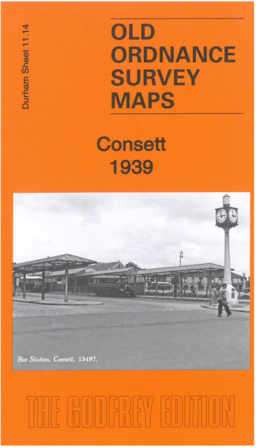
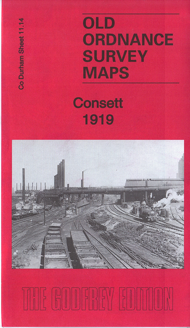
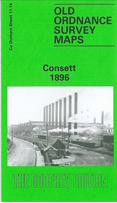
We have published three versions of this map, showing how the area changed across the years.
The maps cover the steel town of Consett, which developed from a hamlet of just 146 people in 1831. The Derwent Iron Company was formed in 1841 and this was succeeded in 1864 by the Consett Iron Company. By 1891 the population was 8,760. The town is in the top right quadrant of the map; the massive iron works dominates the western half of the map and is shown here with all its railway tracks, blast furnaces, coke ovens. To the west are Consett Hall and The Grove. South of the town are railways: the NER Annfield Plain Branch, Iveston Railway, Consett Iron Works Railway. Other features include Templetown, Delves Brick Works, Latterday Saint Pit, Puddlers Row, Town Hall, Carrhouse Quarry, Christ Church, Buildings Farm.
The map links up with Sheets 11.10 Blackhill & Shotley Bridge to the north.