

 Here are the details of maps for Bermondsey:

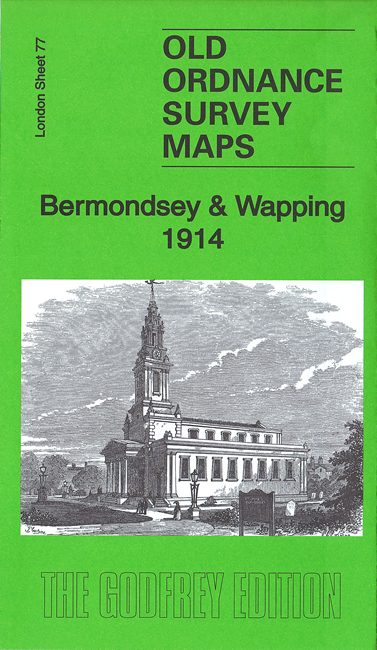
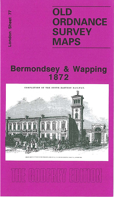
We have published three versions of this map, showing how the area developed across the years. The maps each cover the same area, stretching from London Bridge eastward to Southwark Park and southward to New Kent Road and Spa Road.
Major features include London Bridge station, Tower Bridge, St Katharine's Docks, Western Dock, Wapping Basin, part of The Tower, East Quay Warehouse, River Thames with wharves etc, part of London Bridge, railway approaches incl Spa Road station, Guys Hospital, St John's church, St Olave's church, St Stephen's church, tramways, Bermondsey Leather Market, tanneries, Neckinger Mills, jam factory, St Crispin's church, part of Southwark Park, St James Bermondsey church, many other churches and works, Cherry Garden Pier, etc.
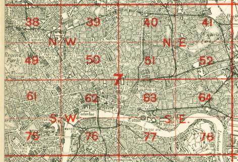
The map links up with London Sheets 63 Whitechapel to the north, 76 Waterloo to the west, 77 Rotherhithe to the east, 90 Old Kent Road to the south.
 Follow this link for a complete list of our London maps .