
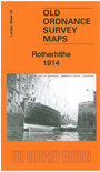
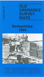
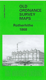
 Here are the details of maps for Rotherhithe:

We have published three versions of this map, showing how the area changed across the years. Each covers the same area, stretching from Lower Road and Thames Tunnel eastward to Alpha Road, from Rotherhithe Road and the Thames southward to Greenland Dock. The maps therefore cover most of Rotherhithe with its docks, and also the western part of the Isle of Dogs, and a small bit of Wapping.
Features include Shadwell Old Basin, West Ferry Road, Union Docks, Limehouse Basin, the western parts of West India Dock and South Dock; Surrey Commercial Docks including Lavender Pond, Stave Dock, Albion Dock, Canada Dock, Quebec Pond, Russia Dock, Lady Dock, Norway Dock, Greenland Dock; also Surrey Basin, Surrey Canal, Sulphur Works, St Olave's Union Infirmary, tramways, Barnard's Wharf, Durand's Wharf and many other wharves; part of Southwark Park. Churches include St Mary's Rotherhithe, All Saints, St Luke's Alpha Road. Streets include West Ferry Road, Commercial Dock Road, Adam Street, Albion Street, part of Wapping High Street. Maps also include extracts from directories; 1868 map has street directory for Millwall and Rotherhithe Street.
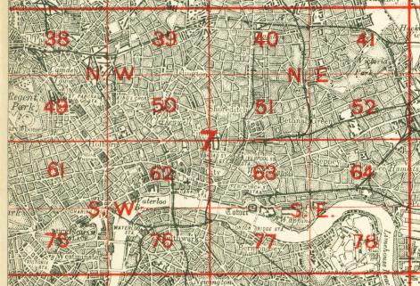
The map links up with Sheets 64 Stepney to the north, 77 Bermondsey to the west, 79 West India Docks to the east, Sheet 91 Deptford North to the south.
 Follow this link for a complete list of our London maps .