
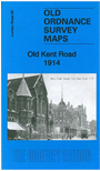
 Here are the details of maps for Old Kent Road:
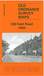

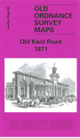
The three versions of this map show how the area developed across the years. The maps each cover the same area, stretching from Portland Street eastward to Galley Wall Road and Bramcote Road, from Southwark Park Road southward to Bird-in-Bush Road. A long stretch of the Old Kent Road runs diagonally through this busy map, which covers the area between Southwark, Bermondsey and Peckham. The map is dominated by streets of housing, although a few empty areas still survive on the 1871 map. Other features include the Surrey Canal, Bricklayers Arms railway branch and Goods Depot, Glengall Works, Newington Institution, South Metropolitan Gas Works, Lock's Field, tramways, small factories along the canal. The 1914 map mentions the following wards: St Peter's, Coburg, Addington, St George's, Marlborough, North Peckham and No.4 Bermondsey Wards. Streets include Old Kent Road, Albany Road, Southwark Park Road, Lynton Road and countless others. The 1871 and 1894 maps include contemporary directories for Old Kent Road. The 1914 map includes information about the OS by Richard Oliver.
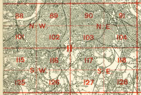
The map links up with Sheets 77 Bermondsey to the north, 89 Kennington to the west, 91 Deptford to the east, 103 Peckham to the south.
 Follow this link for a complete list of our London maps .