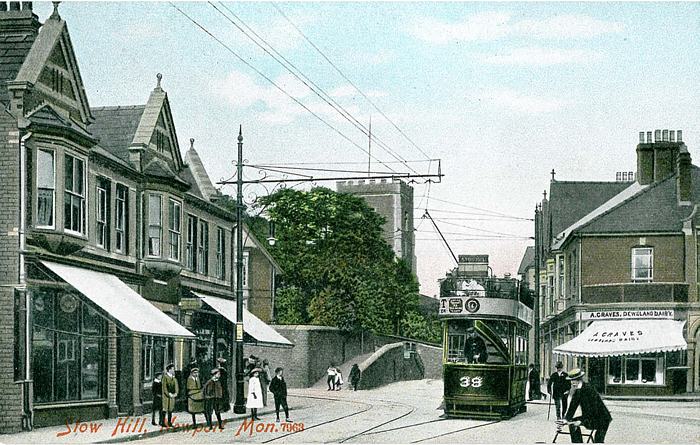
The following maps are all taken from the OS 25" maps and reduced to a scale of approximately 15 inches to the mile. They are extremely detailed, showing individual houses, details such as railway tracks, pathways, pubs, factories and even minutiae such as fountains and signal posts. Each map includes an introduction.
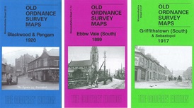
 These are the maps we publish for towns in Monmouthshire:
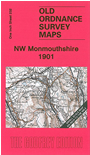 We also cover Monmouthshire in our Inch to the Mile series. Here are the principal sheets for the county:

For a full list and index maps follow this link.