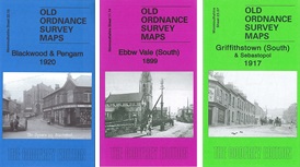
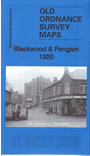
Monmouthshire Sheet 22.10 Blackwood & Pengam 1920 - published 2017; intro by Ray Lawrence. ISBN.978-1-78721-102-5
This detailed map covers the area from Pengam and Fleur-de-lis in the west to Blackwood in the east.
Features include Pengam Colliery, Brecon & Merthyr Railway with Pengam station, St David's church, Fleur-de-lis area,
Cefn-fforest, Plas Bedwellty, Coed Duon, Blackwood shown in detail, LNWR Sirhowy Branch, New Rock Colliery, Charlestown, St David's Wood etc.
Follow this link for a complete list of our Monmouthshire Series maps.
You can order maps direct from our On-line Mapshop.
For other information and prices, and other areas, go to The Index Page.
Maps in the Godfrey Edition are taken from the 25 inch to the mile map and reduced to about 15 inches to the mile.
For a full list of maps for Wales, return to the Wales page.
The Godfrey Edition / sales@alangodfreymaps.co.uk/A> / 21 November 2017
 Here are details of our map for Blackwood: