
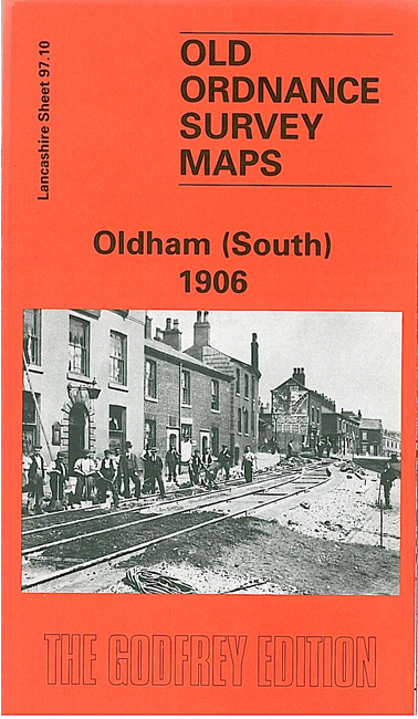
 Here are the details of maps for Oldham South:
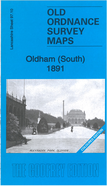


We have published two versions of this map, showing how the area changed across the years. The 1891 map is in full colour, taken from the beautiful 1st Edition OS handcoloured map.
The maps cover the southern side of Oldham, with coverage stretching from Windsor Road eastward to Abbey Hills Road, and from Wellington Street southward to Hollins Road and Hathershaw. The many features include railway with Central and Clegg Street stations, Glodwick Brook, Glodwick, Alexandra Park, Brook Mills, Maple Mill, Earl Mill, Belgrave Mill, Castle Mill, Borough Mill, Pearl Mill, Glodwick Mill, Commercial Mill, Broadway Mills, Alma Mills, Copster Mill, Primrose Bank Mills, other mills, tramways, Chamber Colliery, Hulme Grammar School, Primrose Bank, Coppice, St Thomas's church, Lowside Brick Works, Cherry Valley, Fitton Hill etc.
The map links up with sheets 97.06 Oldham to the north, 97.09 Oldham SW to the west, 97.11 Lees to the south and 97.14 Bardsley to the south.