Old Ordnance Survey Maps of Bournemouth, Christchurch & Poole

  • These detailed maps normally cover an area of about one and a half miles by one mile. Each map includes an introduction.
  • They are available through our On-line Mapshop

  • Here are the details of maps for Southbourne:

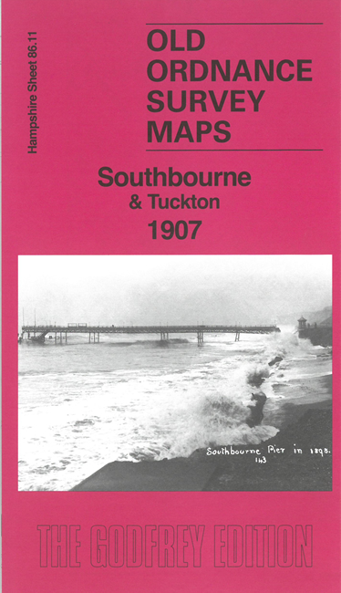
  • Hampshire 86.11 Southbourne & Tuckton 1907 - published 2026; intro by Alan Godfrey. ISBN.978-1-919015-19-4

    This detailed map is double-sided for maximum coverage and gives excellent coverage of Southbourne and Tuckton, part of West Southbourne, and a small portion of Christchurch.

    Features include tramway, Stourcliffe House, Grassendale, St Cuthbert's School, Foxholes House, Southcliff Hotel, Pembroke Lodge, Heatherlea, Carbery, St Catherine's Church, Coastguard Station, the broken Southbourne Pier, Tuckton Bridge, Tuckton House, Wick House, Portfield House. The introduction describes the development of Southbourne as a resort, the Stourcliffe estate, the Russian colony in Tuckton led by Vladimir Tchertkoff, and and the early air display in which Charles Stewart Rolls was killed.

    The map links up with Hampshire Sheets 86.10 Boscombe to the west, 86.12 Christchurch to the east.


  • Follow this link for a complete list for Bournemouth Christchurch & Poole maps, or follow these links for the rest of Dorset, or Hampshire, or for the whole South West region. For other information and prices, and other areas, go to The Index Page.
  • Maps in the Godfrey Edition are taken from the 25 inch to the mile map and reduced to about 15 inches to the mile. For a full list of maps for England, return to the England page.
    Alan Godfrey Maps, Prospect Business Park, Leadgate, Consett, Co Durham, DH8 7PW / sales@alangodfreymaps.co.uk / 28 October 2026