

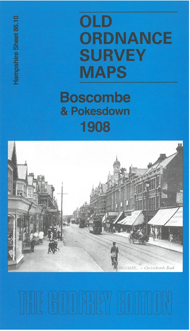
 Here are the details of maps for Boscombe and Pokesdown:

We have published two versions of this map, showing how the area changed across the years. They cover Boscombe and Pokesdown, to the east of Bournemouth. The Christchurch Road runs through the centre of the map and coverage extends from Drummond Road eastward to Beaufort Road and Grand Avenue.
Features include Boscombe and Pokesdown stations, Kings Park, cemetery, St John's church, Palmerston Road, Boscombe Chine Gardens (bottom left), Hotel Burlington, Groveley Manor, Wentworth Lodge, Seabourne Road, tramways and depot, Convent, isolation hospital.
The map links up with Hampshire Sheets 86.09 North Bournemouth to the west and 86.13 Central Bournemouth to the south.