Old Ordnance Survey Maps of Edinburgh

  • This map is taken from the original OS 1:1056 or 'Five'foot' plan and reduced to a scale of A Yard to the Mile. It shows the area in great detail, including the interiors of some public buildings. On the reverse we include a 1:500 map from the 1890s, here reduced in scale, showing part of the area at a later stage, together with a 2,000 word introduction to the history of the area.
  • They are available through our On-line Mapshop

  • Here are the details of our map for West Dalry:

  • Edinburgh 38A Edinburgh: Wester Dalry 1878 - published 2025; intro by Alan Godfrey. ISBN.978-1-78721-875-8

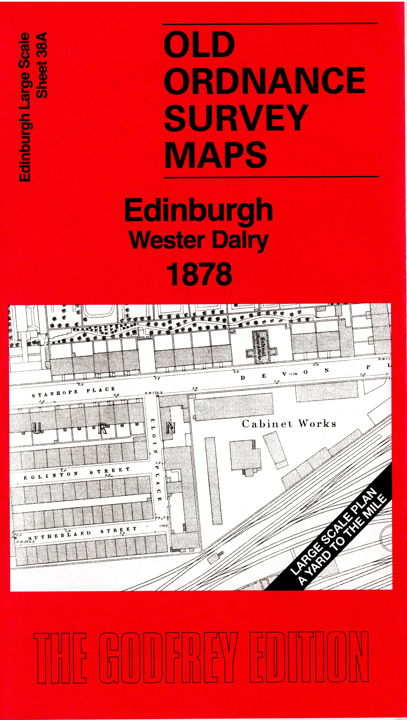
    This highly detailed map covers the area SW of Haymarket station, with many NBR and Caledonian railway lines. Other features include the CR's Dalry depot, Caledonian Distillery, Roseburn Maltings, Dalry Cemetery, Devon Place.

    On the reverse we include 1:500 sheet III.2.1 covering the area south of Haymarket depot at a later stage.

    The map links up sheet 38 Fountainbridge to the east.


  • Follow this link for a complete list of our Edinburgh maps. For other information and prices, and other areas, go to The Index Page.
  • This map is taken from the 5-foot plan and reduced to a scale of a Yard to the Mile. For a full list of maps for Scotland, return to the Scotland page.
    The Godfrey Edition / sales@alangodfreymaps.co.uk / 24 July 2025