Old Ordnance Survey Maps of Edinburgh

  • This map is taken from the original OS 1:1056 or 'Five'foot' plan and reduced to a scale of A Yard to the Mile. It shows the area in great detail, including the interiors of some public buildings. On the reverse we include a 1:500 map from the 1890s, here reduced in scale, showing part of the area at a later stage, together with a 2,000 word introduction to the history of the area.
  • They are available through our On-line Mapshop

  • Here are the details of our map for Wester Coates:

  • Edinburgh 33 Edinburgh: Wester Coates 1878 - published 2025; intro by Alan Godfrey. ISBN.978-1-78721-884-0

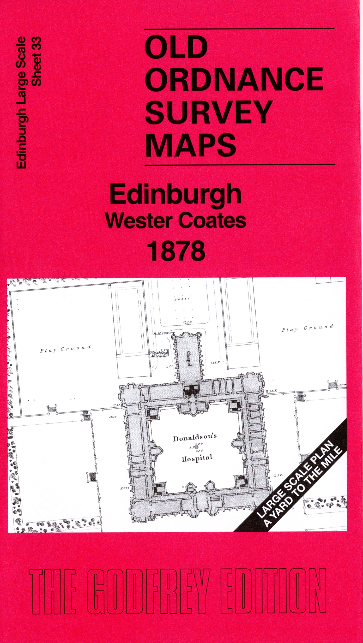
    This highly detailed map covers the area around Donaldson's Hospital.

    Features include John Watson's Institution (today's Modern Art Gallery), Bell's Mills, Water of Leith, West Coates Church, Haymarket Mills, Coates Hall, tramway, Roseburn Free Church, Coltbridge Viaduct etc.

    On the reverse we include 1:500 sheet III.7.16 covering Donaldson's Hospital in 1894.

    The map links up sheet 34 Western New Town to the east and 38A Wester Dalry to the south.


  • Follow this link for a complete list of our Edinburgh maps. For other information and prices, and other areas, go to The Index Page.
  • This map is taken from the 5-foot plan and reduced to a scale of a Yard to the Mile. For a full list of maps for Scotland, return to the Scotland page.
    The Godfrey Edition / sales@alangodfreymaps.co.uk / 4 September 2025