Old Ordnance Survey Maps of Edinburgh

  • This map is taken from the original OS 1:1056 or 'Five'foot' plan and reduced to a scale of A Yard to the Mile. It shows the area in great detail, including the interiors of some public buildings. On the reverse we include a 1:500 map from the 1890s, here reduced in scale, showing part of the area at a later stage, together with a 2,000 word introduction to the history of the area.
  • They are available through our On-line Mapshop

  • Here are the details of our map for Ravelston:

  • Edinburgh 27 Edinburgh: Ravelston & Dean Cemetery 1877 - published 2025; intro by Alan Godfrey. ISBN.978-1-78721-893-2

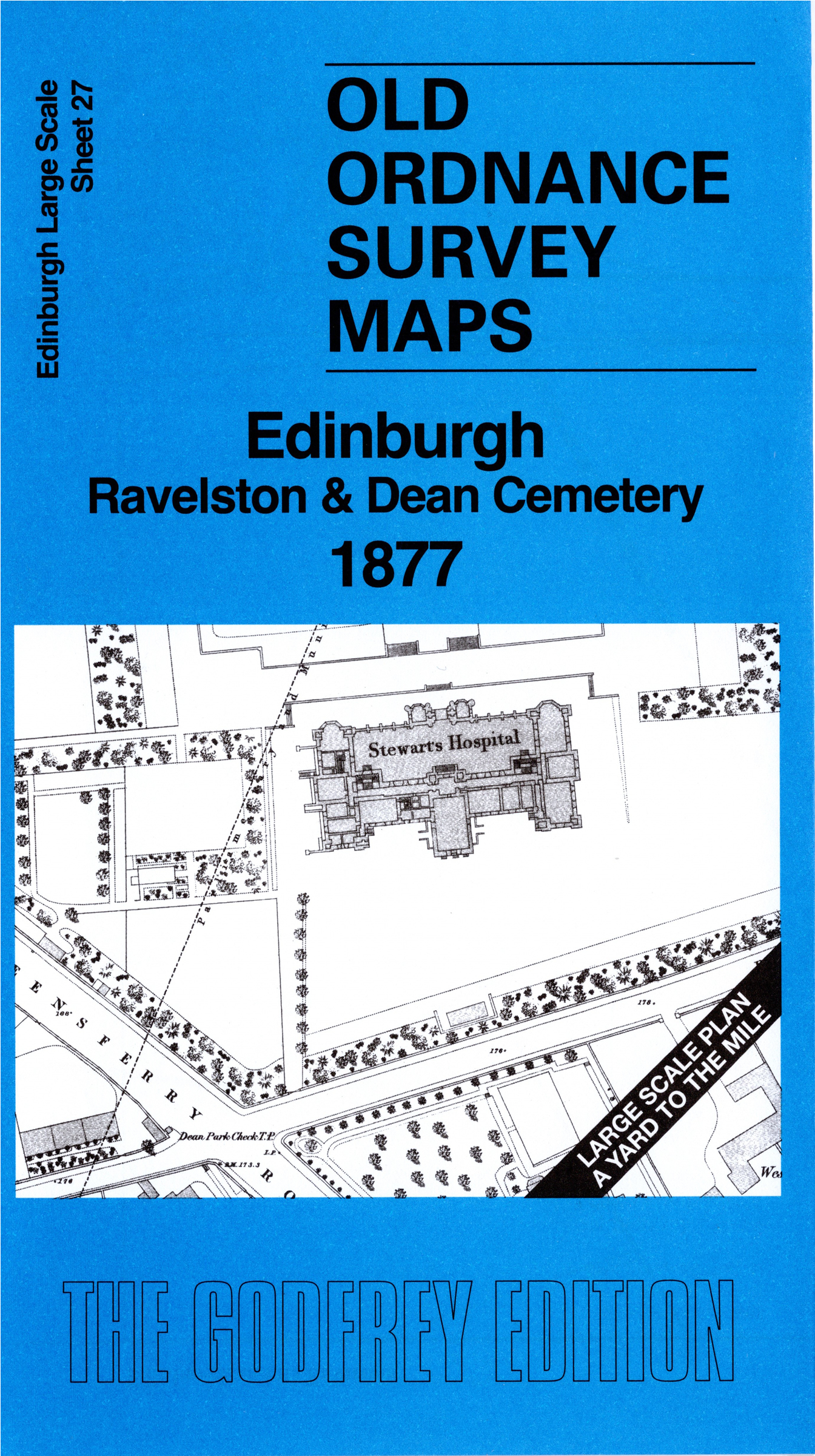
    This highly detailed map covers the area around Stewart's Hospital and Dean Cemetery.

    Features include Edinburgh Western Cemetery (Dean Cemetery), Stewart's Hospital, Orphan Hospital (now Modern 2), Sunbury Maltbarns, Dean Park House etc. The map is at the western edge of built-up Edinburgh.

    On the reverse we include 1:500 sheet III.7.11 covering the Orphan Hospital and John Watson's Institution in 1894.

    The map links up sheet 28 Dean Village to the east, 33 Wester Coates to the south.


  • Follow this link for a complete list of our Edinburgh maps. For other information and prices, and other areas, go to The Index Page.
  • This map is taken from the 5-foot plan and reduced to a scale of a Yard to the Mile. For a full list of maps for Scotland, return to the Scotland page.
    The Godfrey Edition / sales@alangodfreymaps.co.uk / 16 October 2025