
 Here are the details of maps for Edinburgh (Dean Village):

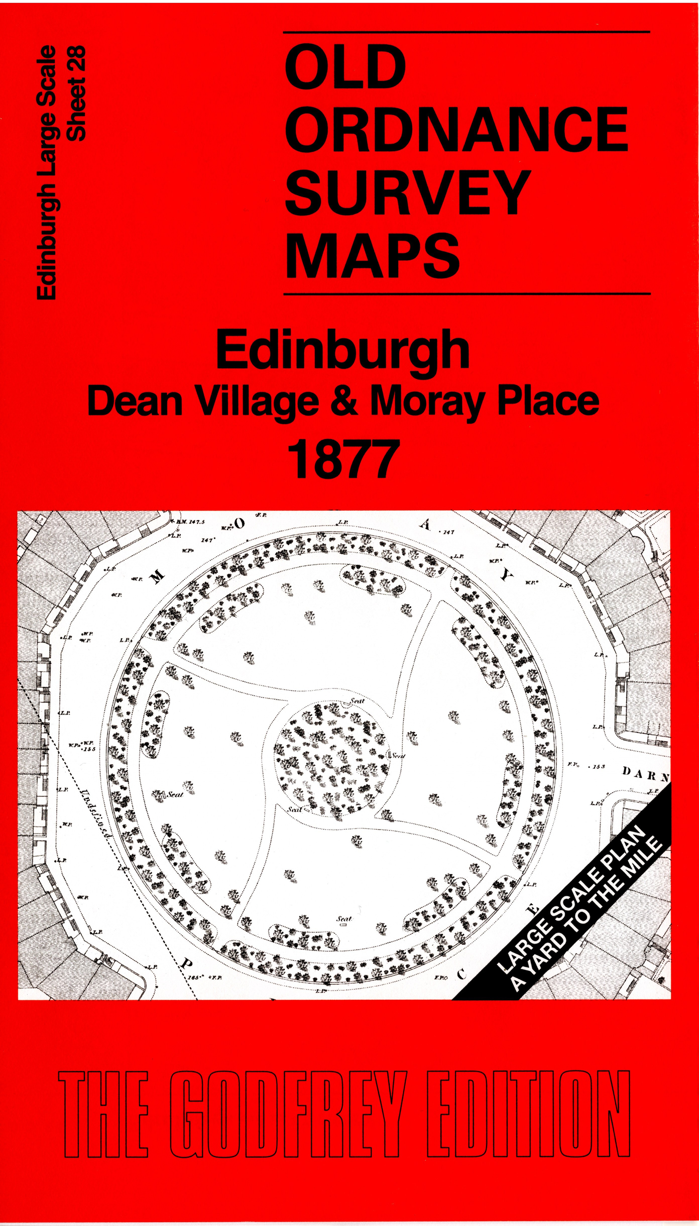
This ver detailed map covers a major part of the New Town, with Moray Place, Ainslie Place, Charlotte Square, and parts of Royal Circus and Queen Street Gardens. Coverage extends west to the Dean Bridge, Bell's Brae and Dean Village. Other features include Dean School, Trinity Chapel, Lindsay's Mill, West Mill, Mar's Mill, Greenland Mill, St Bernard's Well, St George's Church, St Stephen's Free Church, Albert Memorial, St Bernard's Bridge, etc.
The map links up sheet 287 Ravelston to the west, 29 Edinburgh New Town to the east and 34 Western New Town to the south.