 Here are the details of maps for Runcorn:

This detailed map gives very good coverage of Runcorn, southward to Higher Runcorn and eastward to Bold Street.
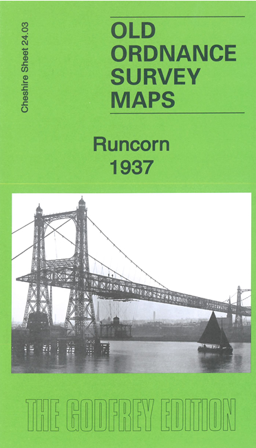
Features include Manchester Ship Canal, Transporter Bridge, Runcorn Bridge, railway with station, Runcorn Dock Branch, town centre with individual buildings neatly shown, Bridgewater Canal, new and old lines of locks, Arnold Dock, Fenton Dock, Francis Dock, Alfred Dock, Tidal Dock, Old Dock, Coal Basin, Bridgewater House, All Saints church, Camden Tannery, Bridgewater Foundry, other churches and chapels, cemetery, Evans Biological Instiutute, Victoria Memorial Hospital, Waterloo Bridge, graving docks, etc.
The map links up with sheet 24.04 Halton Castle to the east and 24.07 Weston to the south. Other maps of Runcorn are available in our Lancashire series.