 Here are the details of maps for Weston:

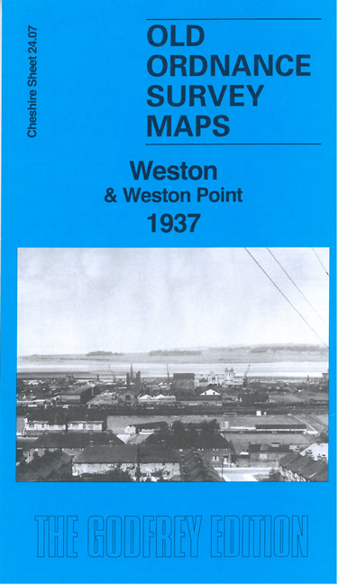
This detailed map gives very good coverage of Weston Village and Weston Point.
Features include Manchester Ship Canal, Castner-Kellner Alkali Works, Weston Point Salt Works, River Weaver Canal, Runcorn & Weston Canal, Delamere Dock, Tollemache Dock, Weston Point Light Railway, Christ Church, many sidings and mineral lines, Runcorn Hill, Weston Quarries, Runcorn Heath, Weston, St John's church, Weston House, etc.
On the reverse we include a large extract from Lancashire sheet 118.04 showing Weston Point on slightly different sheetlines in 1927. We also include a specially written introduction to the history of the area.
The map links up with sheet 24.03 Runcorn to the north.