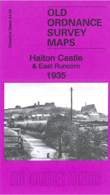
 Here are the details of maps for Halton:

This detailed map covers the area from the Town Hall and Wyvern Place in Runcorn eastward to Halton Castle.
The many features include Halton Castle, Castle Hotel, St Mary's church, Astmoor Tannery, Bridgewater Canal, Marsh Farm, Highfield Tannery, Manchester Ship Canal, Wigg Works, Puritan Tanneries, Royal Oak Tannery, Stenhills, Rock Park, Town Hall, brickworks, Football Ground, Old Quay Bridge etc.
On the reverse we include a specially written introduction to the history of the area, plus a large extract from the 1st edition six-inch map, of 1874, covering the whole area from Runcorn Docks eastward to Halton.
The map links up with sheet 24.03 Runcorn to the west. Other maps of Runcorn are available in our Lancashire series.