

 Here are the details of maps for west Sheffield:


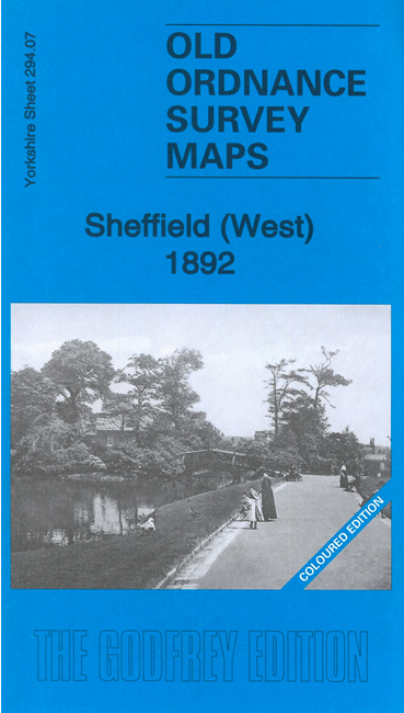
We have published two versions of this map showing how the area changed across the years. The 1892 version is in full colour, taken from the beautiful 1st edition OS handcoloured map.
Each map covers the western part of Sheffield, with coverage stretching from Broad Lane westward to Crookes, and from Daniel Hill Street southward to Broomspring Lane. The eastern half of the map is crowded with terraced streets, including many rows of back-to-backs, while further west the housing is rather more spacious.
Major features include St George's church, University College, St Anne's church, Royal Hospital, St Phillip's church, Royal Infirmary, Netherthorpe, Port Mahon, tramways, Mappin Art Gallery, Weston Park, Old Great Dam and New Dam, Upperthorpe, Hadfield Dam, Weston Park Museum, Howard Hill, St Mary's church, Crookes, St Thomas church, Steel Bank. We include extracts from street directory on the reverse of each map.
The map links up with Sheets 294.03 Sheffield Neepsend to the north, 294.06 Rivelin Glen to the west, 294.08 Sheffield to the east and 294.11 Ecclesall Road to the south.