We have published more than 2,200 maps in our series of Old Ordnance Survey Map reprints, and the series includes a very good group for Birmingham and the West Midlands. The maps are highly detailed. They are taken from the OS 1:2,500 (or 25 inch) maps and reduced to about 15 inches to the mile. They show streets with individual houses, tram tracks, railway tracks and even signals, factories, wharves and such details as fountains and water troughs. They will provide hours of fascination for historians and genealogists. The maps are neatly folded and each includes a specially written introduction to the area. Maps can be purchased on our On-line Mapshop. For other information and Prices, see Index Page.
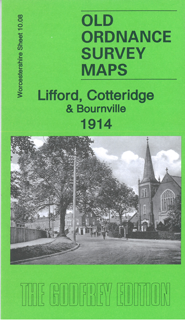
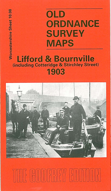
Here are the details of maps for Lifford:
This detailed map covers an area southward of Birmingham that includes the southern part of Bournville, Lifford, Cotteridge and Stirchley Street. Coverage stretches from Middletonhall Road northward to Bournville station and eastward to Hazelwell Hall.
Features include Midland Railway with Bournville station, Kings Norton station, Lifford station, the Lifford Loop and Goods Branch, Kings Norton Metal Works, Lifford Mill, Redhouse Farm, Watford House, High House, Rowheath Farm, St Agnes church, screw factory, Breedon Cross, Hazelwell Mill, Hazelwell Hall, Fordhouse Farm, Maryvale area of Bournville, ammunition works, southern tip of Bournville Works, Bournville Brass Foundry, Bournville Hall, Worcester & Birmingham Canal, short stretch of Stratford on Avon Canal. On the reverse we include a selection of street directory entries, incl Beech Road, Bournville Lane, Linden Road, Mary Vale Road; plus the Midland Railway Birmingham-Redditch timetable in 1916.
The map links up with Worcestershire sheets 10.04 Selly Oak to the north, 10.07 Northfield N to the west and 10.12 Kings Norton to the south.
For a full list of maps of Birmingham, please go to the Birmingham page.
You can order maps direct from our On-line Mapshop. For other information and prices, and other areas, go to The Index Page.
Maps in the Godfrey Edition are taken from the 25 inch to the mile map and reduced to about 15 inches to the mile. For a full list of maps for England, return to the England page.
Alan Godfrey Maps, Prospect Business Park, Leadgate, Consett, Co Durham, DH8 7PW / godfreyedition@btinternet.com / 20 April 2009