
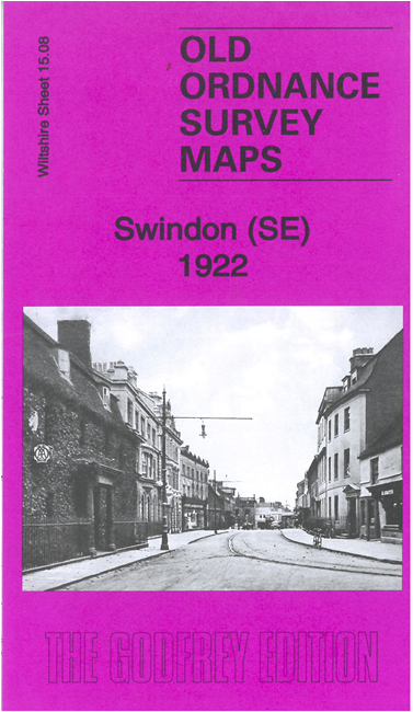
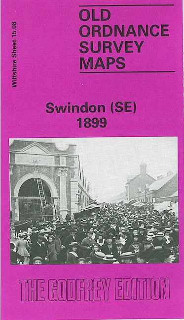
 These are our maps for SE Swindon:

We have published two versions of this map, showing how the area changed across the years.
The maps cover the SE area of Swindon, including Old Swindon. Coverage includes much of the town centre and stretches from St Paul's church southward.
Features include Swindon Town station, Christ Church, Town Gardens, The Quarries, Kingshill House, Victoria Hospital, cemetery, Grove House, remains of Holy Rood Church, Regent Circus, Commercial Road area etc.
The map links up with Wiltshire sheets 15.04 Swindon NE to the north and 15.07 Swindon SE to the west.