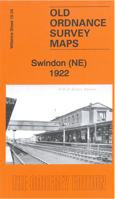
Wiltshire 15.04b Swindon (NE) 1922 - published 2021; intro by Tony Painter. ISBN.978-1-78721-451-4 
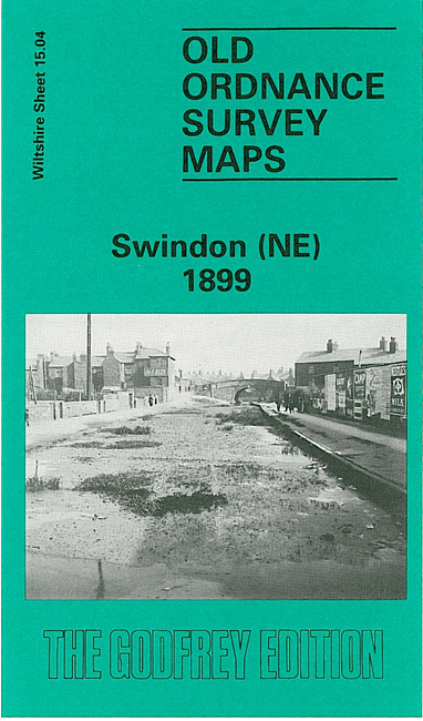
We have published two versions of this map, showing how the area changed across the years.
The maps cover the NE area of Swindon, incl the eastern end of the railway works, railway with station, Highworth Junction, Wilts & Berks Canal,
Fairholm, Eastcott Farm, Fleet Street area, St Barnabas church, Gorse Hill area, Swindon Marsh Farm, Swindon County Ground.
The map links up with Wiltshire sheets 15.03 Swindon NE to the west and 15.08 Swindon SE to the south.
Follow this link for a complete list of our Wiltshire Series or Swindon maps; or here for
all maps in South West England.
You can order maps direct from our On-line Mapshop.
For other information and prices, and other areas, go to The Index Page.
Most maps in the Godfrey Edition are taken from the 25 inch to the mile map and reduced to about 15 inches to the mile.
For a full list of maps for England, return to the England page.
The Godfrey Edition / sales@alangodfreymaps.co.uk / 22 November 2021

 These are our maps for NE Swindon: