Old Ordnance Survey Maps of Wiltshire

  • These detailed maps normally cover an area of about one and a half miles by one mile. Each map includes an introduction.
  • They are available through our On-line Mapshop

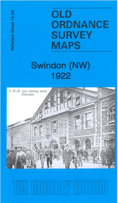
  • These are our maps for NW Swindon:

  • Wiltshire 15.03a Swindon (NW) 1899 - published 1992; intro by Alan Godfrey. ISBN.978-0-85054-518-0
  • Wiltshire 15.03b Swindon (NW) 1922 - published 2021; intro by Tony Painter. ISBN.978-1-78721-450-7

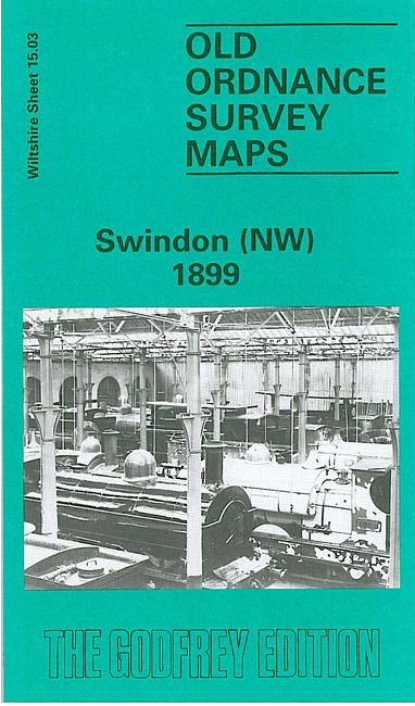
    We have published two versions of this map, showing how the area changed across the years.

    The maps cover the NW area of Swindon, dominated by the GWR Railway Works, with many sidings, incl engine sheds. Coverage stretches from St Mark's church northward to Rodbourne Farm, westward to the River Ray and Midland & South Western Jct Railway. Other features include the Wilts & Berks Canal, terraced streets around Rodbourne Road, GWR Gloucester Branch etc.

    The map links up with Wiltshire sheets 15.04 Swindon NE to the east and 15.07 Swindon SW to the south.


  • Follow this link for a complete list of our Wiltshire Series or Swindon maps; or here for all maps in South West England.
  • You can order maps direct from our On-line Mapshop. For other information and prices, and other areas, go to The Index Page.
  • Most maps in the Godfrey Edition are taken from the 25 inch to the mile map and reduced to about 15 inches to the mile. For a full list of maps for England, return to the England page.
    The Godfrey Edition / sales@alangodfreymaps.co.uk / 23 November 2021