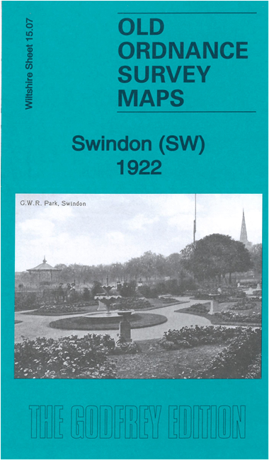
Wiltshire 15.07b Swindon (SW) 1922 - published 2022; intro by Tony Painter. ISBN.978-1-78721-502-3 
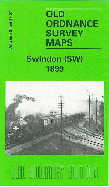
We have published two versions of this map, showing how the area changed across the years.
These detailed maps cover the SW area of Swindon, incl The Park, King's Hill, Kingshill Bridge, Wilts & Berks Canal, GWR railway,
Midland & South Western Jct Railway with Rushey Platt station, Bath Road Brickworks, Okus Quarry, Cambria Place area, Westcott Manor Farm etc.
The map links up with Wiltshire sheets 15.03 Swindon NE to the north and 15.08 Swindon SE to the east.
Follow this link for a complete list of our Wiltshire Series or Swindon maps; or here for
all maps in South West England.
You can order maps direct from our On-line Mapshop.
For other information and prices, and other areas, go to The Index Page.
Most maps in the Godfrey Edition are taken from the 25 inch to the mile map and reduced to about 15 inches to the mile.
For a full list of maps for England, return to the England page.
The Godfrey Edition / sales@alangodfreymaps.co.uk / 29 January 2022

 These are our maps for SW Swindon: