We have published more than 1,900 maps in our series of Old Ordnance Survey Map reprints, including a large group in County Durham, where we are based. The maps are highly detailed. They are taken from the OS 1:2,500 (or 25 inch) maps and reduced to about 15 inches to the mile. Each covers an area of a mile and a half by a mile. They show streets with individual houses, tram tracks, railway tracks and even signals, factories, wharves and such details as fountains and water troughs. They will provide hours of fascination for historians and genealogists. The maps are neatly folded and each includes a specially written introduction to the area. Maps can be purchased on our On-line Mapshop where further information about titles is given. Or visit The Index Page for a full list to the series and details of Prices.
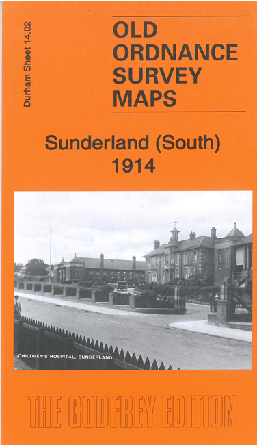
Here are the details of maps for Sunderland (South):
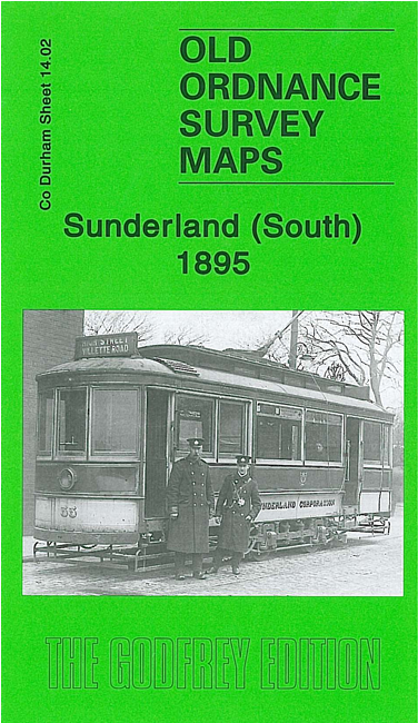
This detailed map covers the southern area of Sunderland around Ashbrooke Hall, including part of Hendon. Coverage stretches from Mowbray Road southward about a mile to Moor Hill and Tunstall Hills Farm. This is a largely residential area - several large houses are shown - but the Hetton Colliery Railway runs through the map and a tramway is shown along Gray Road.
This map links up with Sheets 8.14 Central Sunderland to the north and 8.15 Sunderland East to the east.
You might find this index map useful.
Follow this link for a complete list of our Sunderland maps.
You can order maps direct from our On-line Mapshop. For other information and prices, and other areas, go to The Index Page.
Maps in the Godfrey Edition are taken from the 25 inch to the mile map and reduced to about 15 inches to the mile. For a full list of maps for the North East, return to the North East page.
The Godfrey Edition / godfreyedition@btinternet.com / 10 October 2006