We have published more than 1,900 maps in our series of Old Ordnance Survey Map reprints, including a large group in County Durham, where we are based. The maps are highly detailed. They are taken from the OS 1:2,500 (or 25 inch) maps and reduced to about 15 inches to the mile. Each covers an area of a mile and a half by a mile. They show streets with individual houses, tram tracks, railway tracks and even signals, factories, wharves and such details as fountains and water troughs. They will provide hours of fascination for historians and genealogists. The maps are neatly folded and each includes a specially written introduction to the area. Maps can be purchased on our On-line Mapshop where further information about titles is given. Or visit The Index Page for a full list to the series and details of Prices.
Here are the details of maps for Sunderland:
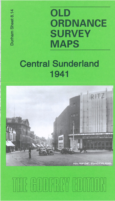
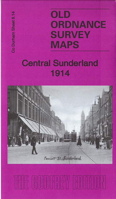
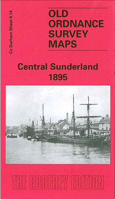
This very busy map covers the centre of Sunderland in great detail. Coverage stretches from Sorley Street and the Workhouse eastward to Suffolk Street, and from Monkwearmouth station southward to Belvedere Road and Park Road. Features include Central station, Wearmouth Bridge, Monkwearmouth station, Millfield, Millfield station, Wear Flint Glass Works, Workhouse, Hospital, St Mark's church, St Mary's church, Trimdon Iron Works, Wear Glass Works, The Green, St George's Square, Mowbray Park, section of the NER Painshaw Branch, section of Hetton Colliery Railway, Infirmary, tramways, museum, reformatory and countless streets of terraced housing. A section of the River Wear is included and along it are Lambton Drops, Hetton Staiths, Wear Dock, Palmers Hill Engine Works, Strand Shipbuilding Yard, Wearmouth Drops. A portion of Deptford is in the NW corner, including St Andrew's church, Lambton Railway. Part of Monkwearmouth around the station is on this map, including St Peter's church. Street directory entries for Charles Street, Chester Road, Clanny Street, Hylton Road, John Street and John Candlish Road are on the back. Family historians should note that much of the historic Bishopwearmouth parish is on this map.
This map links up with Sheets 8.10 Monkwearmouth to the north, 8.13 Sunderland Pallion to the west, 8.15 Sunderland East to the east, and 14.02 Sunderland South to the south.
You might find this index map useful.
Follow this link for a complete list of our Sunderland maps.
You can order maps direct from our On-line Mapshop. For other information and prices, and other areas, go to The Index Page.
Maps in the Godfrey Edition are taken from the 25 inch to the mile map and reduced to about 15 inches to the mile. For a full list of maps for the North East, return to the North East page.
The Godfrey Edition / godfreyedition@btinternet.com / 10 October 2006