Old Ordnance Survey Maps of Staffordshire

  • These detailed maps normally cover an area of about one and a half miles by one mile. Each map includes an introduction.
  • They are available through our On-line Mapshop

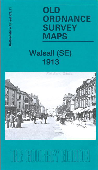
  • Here are the details of maps for Walsall (SE):

  • Staffs Sheet 63.11 Walsall (SE) 1901 - published 1993; intro by Ann French. ISBN.978-0-85054-574-6
  • Staffs Sheet 63.11 Walsall (SE) 1913 - published 2021; intro by Barrie Trinder. ISBN.978-1-78721-421-7

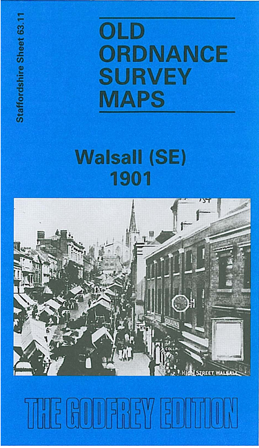
    We have published two versions of this map, showing how the area changed across the years. The maps cover Walsall town centre and the area to the SE. SE area of Walsall, including part of the town centre and the Paddock Ward area. Coverage extends from Caldmore Road eastward to the Rushall Canal, and from Upper Walhouse Street southward to Highgate Road.

    Features include town centre with individual buildings neatly shown, Town Hall, The Chuckery, Windmill area, Doveridge area, tramways, St Matthew's church, St George's church, Picture Palace, St Paul's church, Public Baths, Summit Buckle Works, etc

    The map links up with sheets 63.07 Walsall NE to the north, 63.10 Walsall SW to the west, 63.15 Delves to the south.


  • For a list of local maps, please go to the Walsall or West Midlands page.
  • You can order maps direct from our On-line Mapshop. For other information and prices, and other areas, go to The Index Page.
  • Maps in the Godfrey Edition are taken from the 25 inch to the mile map and reduced to about 15 inches to the mile. For a full list of maps for England, return to the England page.
    Alan Godfrey Maps, Prospect Business Park, Leadgate, Consett, Co Durham, DH8 7PW / sales@alangodfreymaps.co.uk / 20 May 2021