Old Ordnance Survey Maps of Staffordshire

  • These detailed maps normally cover an area of about one and a half miles by one mile. Each map includes an introduction.
  • They are available through our On-line Mapshop

  • Here are the details of maps for Walsall (NW):

  • Staffordshire 63.06a Walsall (NW) 1902 - published 1992; intro by Cath Yates. ISBN.978-0-85054-495-4
  • Staffordshire 63.06b Walsall (NW) 1913 - published 2021; intro by Barrie Trinder. ISBN.978-1-78721-434-7

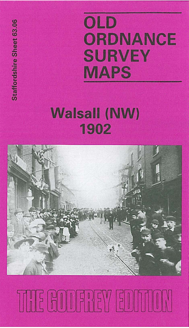
    We have published two versions of this detailed map, showing how the area changed across the years. Each coversthe NW area of Walsall, including Birchills Ward, with coverage extending from Stafford Road westward to Pouk Hill and from Wolverhampton Road northward to Pratt's Mill Bridge.

    Features include MR Walsall-Wolverhampton railway with North Walsall station, Bentley Colliery, Reeds Wood Park, Anson Branch canal, Pouk Hill quarry, Bentley Moor House, Wyrley & Essington Canal with Birchills Junction, Birchills Furnaces, Staffordshire Iron Works, St Andrew's church, Green Lane Foundry, iron works, St Peter's church, Bentley Moor area etc.

    The map links up with Staffordshire sheets 63.02 Leamore to the north, 63.05 Willenhall NE to the west, 63.07 Walsall NE to the east and 63.10 Walsall SW to the south.


  • For a list of local maps, please go to the Walsall or West Midlands page.
  • You can order maps direct from our On-line Mapshop. For other information and prices, and other areas, go to The Index Page.
  • Maps in the Godfrey Edition are taken from the 25 inch to the mile map and reduced to about 15 inches to the mile. For a full list of maps for England, return to the England page.
    Alan Godfrey Maps, Prospect Business Park, Leadgate, Consett, Co Durham, DH8 7PW / sales@alangodfreymaps.co.uk / 5 October 2021