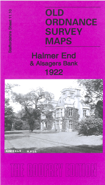
Staffordshire Sheet 11.10 Halmer End & Alsagers Bank 1922 - published 2023; intro by Barrie Trinder. ISBN.978-1-78721-626-6 
This detailed map covers several small communities west of Newcastle-under-Lyme: Halmer End, Alsagers Bank, Wynbank, Victoria Place, Miles Green and part of Wood Lane. Features include Apedale Hall, Podmorehall Colliery with extensive mineral railway, Minnie Pit, the NSR Audley Branch with Halmerend station, Sandpit Footrail (pit), etc.
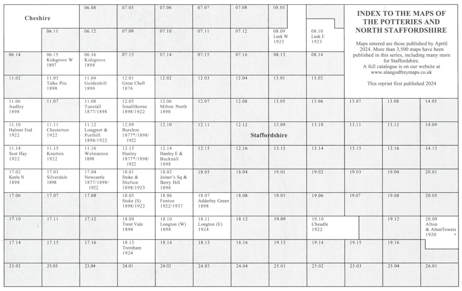
The map links up with Staffordshire Sheets 11.06 Audley to the north, 11.11 Chesterton to the east and
11.14 Scot Hay to the south.
You might find this Index Map useful.
For a full list of maps of Staffordshire, please go to the Staffordshire page or the
Potteries page.
You can order maps direct from our On-line Mapshop.
For other information and prices, and other areas, go to The Index Page.
Maps in the Godfrey Edition are taken from the 25 inch to the mile map and reduced to about 15 inches to the mile.
For a full list of maps for England, return to the England page.
Alan Godfrey Maps, Prospect Business Park, Leadgate, Consett, Co Durham, DH8 7PW /
sales@alangodfreymaps.co.uk / 27 November 2023

 Here are the details of maps for Halmer End: