
 Here are the details of maps for Southall (South):

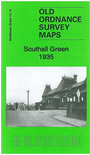
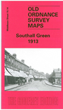
We have published two versions of this map, showing how Southall changed across the years. Each covers the same area, from Southall station southward to the Grand Union Canal, and from Brent Road eastward to Sherborne Avenue.
Features include railway with Southall station, Southall Green, Frogmore Green area, Norwood Green (in SE corner), Grand Union Canal, stretch of Paddington Branch canal, Norwood Mill, gasworks, jam factory, cork factory, St Mary's School, St John's church, preserved food factory, etc. The 1935 version includes a commercial directory of Southall in 1933, entries A-Ho. The 1913 version includes a Southall-Brentford railway timetable on the reverse.
The map links up with Middlesex Sheets 15.10 Southall to the north, 15.13Hayes South to the west, 20.02 Heston to the south; and London Sheet 69 Hanwell to the east
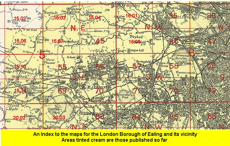 Follow this link for a list of our maps for the London Borough of Ealing, or here for a complete list of our London maps .