
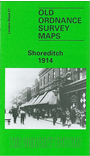
 Here are the details of maps for Shoreditch:
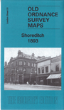

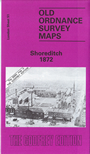
These are three of our most popular maps. The three versions show how the area developed across the years. The maps each cover the same area, stretching from Cropley Street and City Road eastward to Cambridge Road and Corfield Street; from the Regents Canal southward to Bethnal Green Road and Bishopsgate Station. The maps include Shoreditch, Hoxton, Haggerston and the west part of Bethnal Green. The maps are very busy, showing scores of tightly packed streets of housing in detail. Features, which obviously vary with the years, include the GER railway approaches, Bethnal Green Junction station, Bishopsgate station on 1872 version, Bishopsgate Goods station on later maps; tramways, Shoreditch station, St Luke's Hospital, Bunhill Fields Burial Ground, Aske's Hospital, gas works, Columbia Market, Regents Canal; numerous small industries, eg vinegar works, among the houses; the area known as The Jago. Streets include Hackney Road, City Road, New North Road, St John's Road, Hoxton Street, Gosset Street and countless more. Each map includes extracts from contemporary street directories.
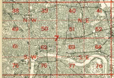
The map links up with London Sheets 40 Dalston to the north, 50 Clerkenwell to the west, 52 Bethnal Green to the east, 63 Whitechapel to the south.
 Follow this link for a complete list of our London maps .