
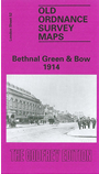
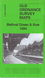
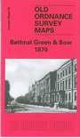
 Here are the details of maps for Bethnal Green:

We have published three versions of this important map, showing how the area developed across the years. Each covers the same area in great detail, showing individual houses. Coverage stretches from Cambridge Road eastward to Fairfield Road, and from Morpeth Road southward to Cephas Street. The eastern part of Bethnal Green is covered, and the map also includes Globe Town, part of the Mile End Road, Old Ford and the western part of Bow. Features include the southern part of Victoria Park, Hertford Union Canal, Waterloo House (earlier referred to as Workhouse), Bethnal Green Museum, Bethnal House, Coborn Road station, Meath Gardens, People's Palace, Regent's Canal, City of London Hospital for Diseases of the Chest, Bow Institution, Guardians Institution, Bow Road station, Old Ford Coal and Goods station, Globe Bridge, Tower Hamlets Cemetery, tramways, Bancrofts Hospital, City of London Union Workhouse, Tredegar Square and much more. We include various street directory extracts on the reverse.
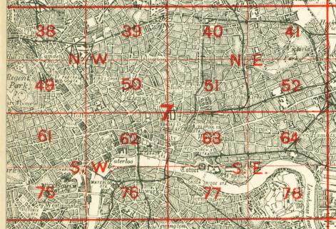
The map links up with London Sheets 41 Hackney to the north, 51 Shoreditch to the west, 53 Bow to the east and 64 Stepney to the south.
 Follow this link for a complete list of our London maps .