
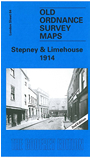
 Here are the details of maps for Stepney & Limehouse:
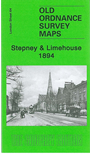

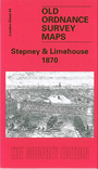
We have published three versions of this map, showing how the area developed across the years. The maps each cover the same area, stretching from Sidney Street and Shadwell station eastward to Stainsby Road; and from the Mile End Road southward to the river.
Major features on these very busy maps include part of Shadwell, including Shadwell New Basin; Regent's Canal Basin; Commercial Road, which goes west-east across the map; Ratcliffe; Limehouse, including St Anne's church; Bow Common; Pedlars Orchard; Stepney Green, Albert Square, East London Cemetery, St Dunstan's church, Limehouse Cut, Regent's Canal. The main feature, of course, lies in the vast number of closely packed streets, and these remain some of our most popular maps. Each includes extracts from early street directories, giving a flavour of those who lived and worked here at the time.
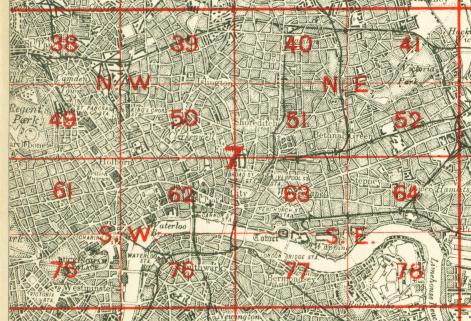
The map links up with London Sheets 52 Bethnal Green to the north, 63 Whitechapel to the west, 65 Poplar to the east, 78 Rotherhithe to the south.
 Follow this link for a complete list of our London maps .