
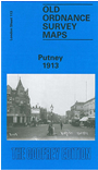
 Here are the details of maps for Putney:
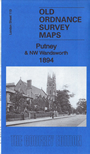

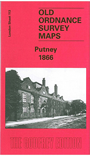
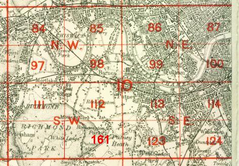
We have published three versions of this map, showing how the area developed across the years. The maps each cover the same area, stretching from Larpent Avenue and Colinette Road eastward to Budlow Road and Broomhill Road in Wandsworth; and from Cardinal Place and the High Street southward to Melrose Road and Seymour Road. They therefore cover much of central Putney, including Putney station, and the area south and east, to include the West Hill area, and also part of Wandsworth High St. The earlier map is dominated by villas in leafy gardens, but on the later maps there are of course many more streets. Other features include Putney East station (1913 map), Union Brewery, Wandsworth Park, Royal Hospital, Upper Richmond Road, Thorley's Food Works. The 1866 map has directories for High St, Putney Hill, Upper Richmond Rd, Wandsworth Lane, West Hill, Wimbledon Park Rd, and there are also a few directory extracts on the later map.
The map links up with London Sheets 99 Putney Bridge to the north, 112 Roehampton to the west, 114 Wandsworth to the east, 123 Southfields to the south.
 Follow this link for a complete list of our London maps .