
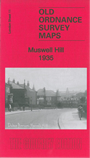
 Here are the details of maps for Muswell Hill:
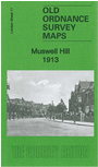

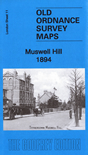
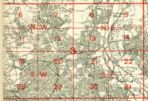
We have published three versions of this map, showing how the area changed across the years. Coverage stretches from Durham Road and All Saints church eastward to Park Avenue North, and from Alexandra Palace southward to Glasslyn Road.
Features include GNR Alexandra Park Branch with three stations, the south part of Alexandra Palace and grounds with part of race course, tramway, Muswell Hill area, Fortis Green area, Highgate Wood, Queen's Wood, GNR carriage shed, All Saints church, St James's church, cottage hospital etc.
The 1913 version includes 1890 directories for Muswell Hill and Fortis Green. The 1935 version includes extracts from a 1933 directory.
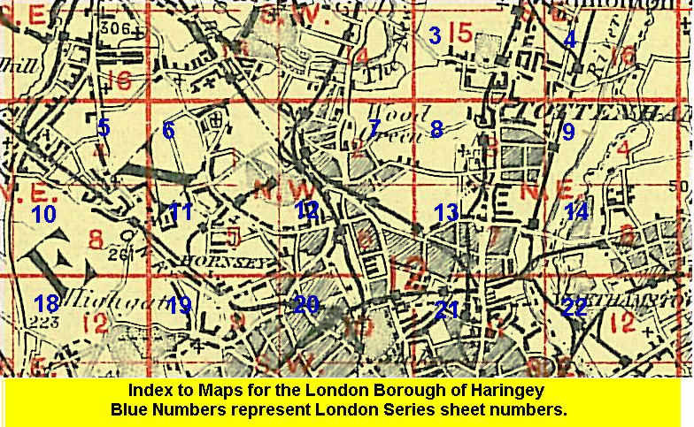
The map links up with London Sheets 6 Alexandra Park to the north, 10 East Finchley to the east 12 Hornsey to the east and 19 Highgate to the south.
 Follow this link for a list of our maps for the London Borough of Haringey, or here for a complete list of our London maps .
 Follow this link for a complete list of our London maps .
You can order maps direct from our On-line Mapshop. For other information and prices, and other areas, go to The Index Page.
Maps in the Godfrey Edition are taken from the 25 inch to the mile map and reduced to about 15 inches to the mile. For a full list of maps for England, return to the England page.
Alan Godfrey Maps, Prospect Business Park, Leadgate, Consett, Co Durham, DH8 7PW / sales@alangodfreymaps.co.uk / 25 September 2020