Old Ordnance Survey Maps of London

  • These detailed maps maps normally cover an area of about one and a half miles by one mile. Each map includes an introduction. The London maps link up with those for Middlesex to form a major series for the Greater London area. They are available through our On-line Mapshop

  • Here are the details of maps for Highgate:

  • London 19.1 Highgate 1869 - published 2003; intro by Pamela Taylor. ISBN.978-1-84151-604-2
  • London 19.2 Highgate 1894 - published 1996; intro by Pamela Taylor. ISBN.978-0-85054-785-6
  • London 19.3 Highgate 1913 - published 1995; intro by Pamela Taylor. ISBN.978-0-85054-259-2
  • London 19.4 Highgate 1936 - published 2019; intro by Pamela Taylor. ISBN.978-1-78721-235-0

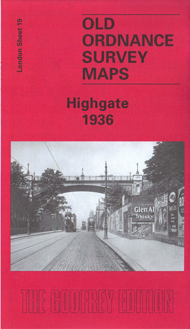
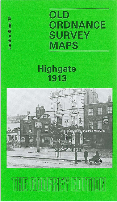
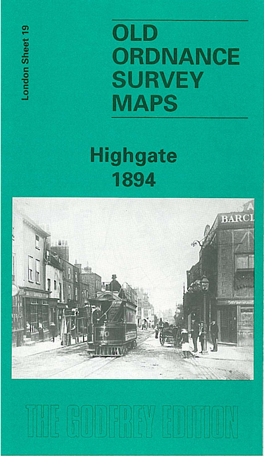
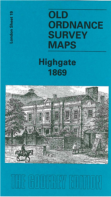
    The four versions of this map show how the area developed across the years. The maps each cover the same area, split between the London boroughs of Camden, Islington and Haringey. Coverage stretches from Fitzroy Park eastward to Hazellville Road; from Shepherds Hill Road southward to Highgate Cemetery.

    Features include Park House Penitentiary, Highgate Cemetery, Waterlow Park, Shepherds Hill, a stretch of the GNR High Barnet line, including Highgate station and part of Crouch End station, St Pancras Infirmary, Holborn Union Infirmary, workhouse, Archway. Streets include North Road, North Hill, The Grove, Pond Square, Hampstead Lane, Highgate Hill, Archway Road, St John's Road. The maps also include extracts from early directories.

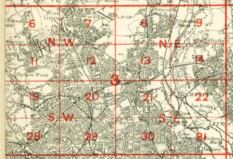
    The map links up with Sheets 11 Muswell Hill to the north, 18 Kenwood to the west, 20 Finsbury Park to the east, and 28 Gospel Oak to the south.


    Follow this link for a list of our maps for the London Borough of Camden, London Borough of Haringey, or London Borough of Islington or here for a complete list of our London maps .
  • Follow this link for a complete list of our London maps .
  • You can order the maps direct from our On-line Mapshop. For other information and prices, and other areas, go to The Index Page.
  • Maps in the Godfrey Edition are taken from the 25 inch to the mile map and reduced to about 15 inches to the mile. For a full list of maps for England, return to the England page.
    Alan Godfrey Maps, Prospect Business Park, Leadgate, Consett, Co Durham, DH8 7PW / sales@alangodfreymaps.co.uk / 31 May 2019