
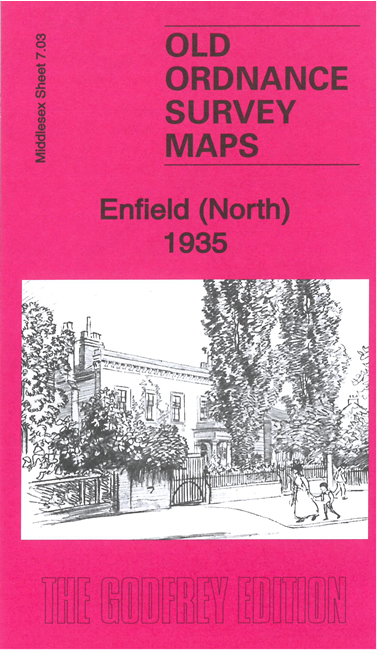
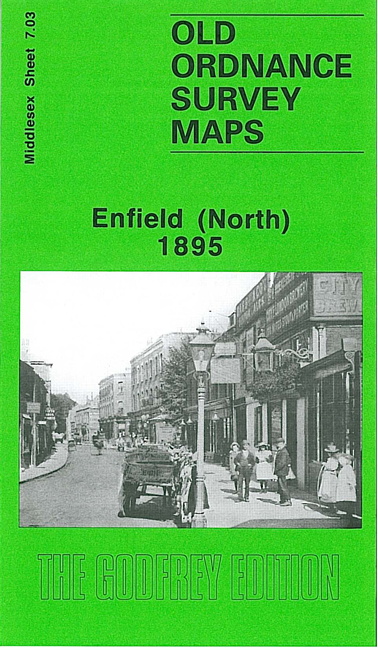
 Here are the details of maps for Enfield (N):

We have published two versions of this map, showing how the area changed across the years.
The maps cover the northern end of Enfield, an area from St Andrews church and the Grammar School northward along Baker Street to Bridgenhall Road and Brigadier Hill. Features include Edmonton Workhouse, Chase Green, Chase Side, Enfield Court, Gentleman's Row (where Charles Lamb lived), and various stretches of the New River. Extracts from early directories are included on the reverse.
The map links up with Middlesex Sheets 2.15 Forty Hill to the north, 7.02 Enfield NW to the west, 7.07 Enfield South to the south, 7.04 Enfield Highway to the east.
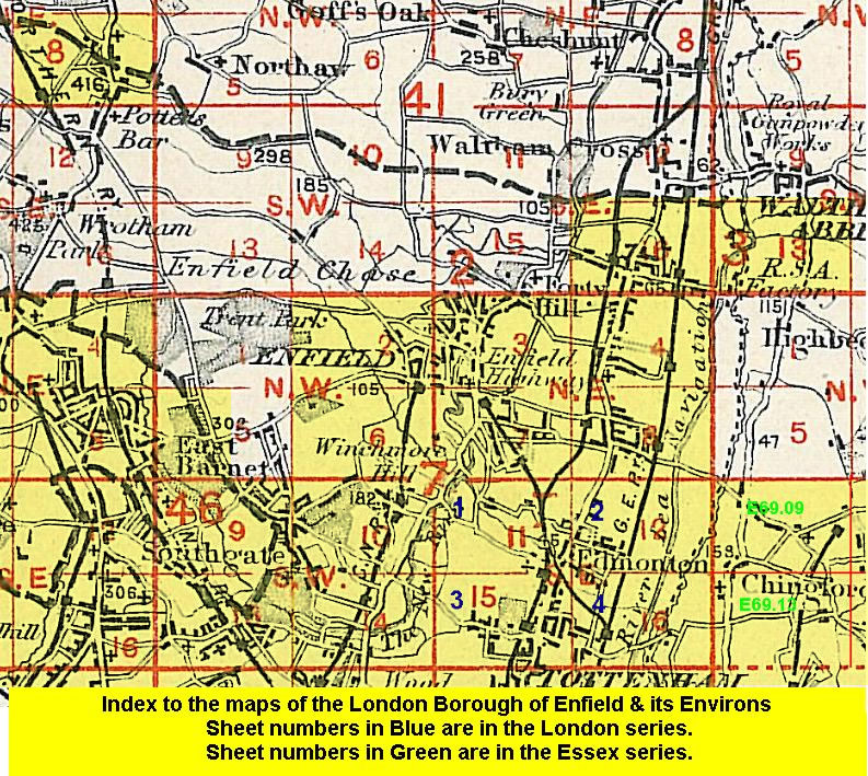 Follow this link for a list of our maps for the London Borough of Enfield, or here for a complete list of our London maps .