
 Here are the details of maps for Enfield NW:

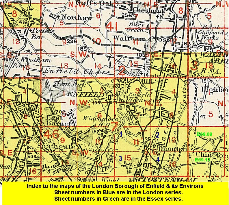
This detailed map covers the NW area of Enfield, with coverage stretching from Windmill Hill northward to the Cemetery and Chase Farm Schools, and from Gordon Hill station westward to Parkside Farm.
Features include Chase Farm Schools, railway with Gordon Hill station, East Barnet Road area, Ridgeway Road area, Ridgeway Farm, Bycullah House, Vicarage Farm etc. On the reverse we include a directory of Private Residents in Enfield for 1933.
The map links up with Middlesex sheets 7.03 Enfield North to the east and 7.06 Enfield Chase to the south.
 Follow this link for a list of our maps for the London Borough of Enfield, or here for a complete list of our London maps .