
 Here are the details of maps for South Ealing:

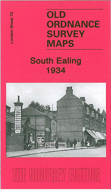
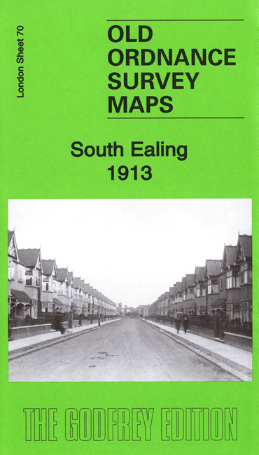
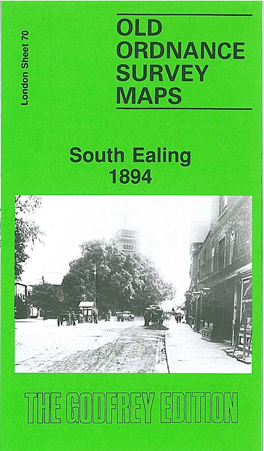
We have published three versions of this map, showing how the area developed across the years. Each covers the same area. Coverage stretches from Elthorne Park eastward to Cedar Grove, and from Rathgar Avenue southward to Darwin Road.
In 1894 this was still a largely rural area, and major features are St Mary's church, a stretch of the District line with Boston Road and South Ealing stations, a small stretch of Grand Junction Canal with Osterley Lock; Little Ealing, with Ealing Park convent, Ealing Cemetery, and the beginning of building nearby; Lammas Park and village area around St Mary's church. The later editions show the area becoming increasingly built-up. Selected directory extracts are included on both maps.
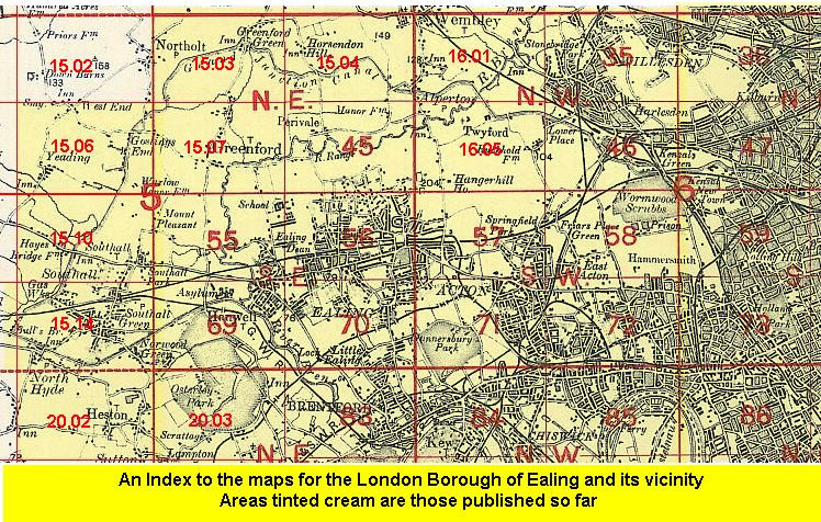
The map links up with Sheets 56 Ealing to the north, 69 Hanwell to the west, 71 South Acton to the east and 83 Brentford to the south.
 Follow this link for a list of our maps for the London Borough of Ealing, or here for a complete list of our London maps .