 Here are the details of maps for Swiss Cottage & South Hampstead:

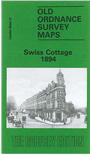
We have published three versions of this map, showing how the area developed across the years. The map is centred on Swiss Cottage, with its underground station, New College (a training college for dissenting ministers), and School for the Blind. The map also covers West Hampstead, and the area of south and west Hampstead developed as part of the Maryon Wilson estate. It also includes part of the Belsize estate. In the NE of the map is a stretch of Haverstock Hill, including Hampstead Vestry Hall; in the SE corner is part of Primrose Hill, while Edgware Road cuts across the SW corner. Several railways emerge from tunnels on the map, including the LNWR at Loudon Road station, and Metropolitan, Midland and Hampstead Junction at the Finchley Road stations. Principal roads include Priory Road, Finchley Road, Fitzjohns Avenue, Eton Avenue, Adelaide Avenue and many more.
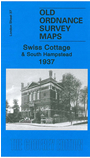
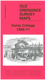
The 1871 map shows an area which is still largely undeveloped north of Swiss Cottage. This map includes extracts from an early street directory for Adelaide Road, Belsize Road/Square, Finchley New Rd, Loudon Road. The 1937 map, by contrast, shows the area entirely built up. A selection of street directory entries on the reverse includes Belsize Avenue/Crescent/Grove/Lane, Elsworthy Road, Finchley Road, Fitzjohns Avenue, Greencroft Gardens.
The map links up with London Sheets 27 Hampstead to the north, 36 Willesden Green to the west, 38 Kentish Town to the east, 48 St Johns Wood to the south.
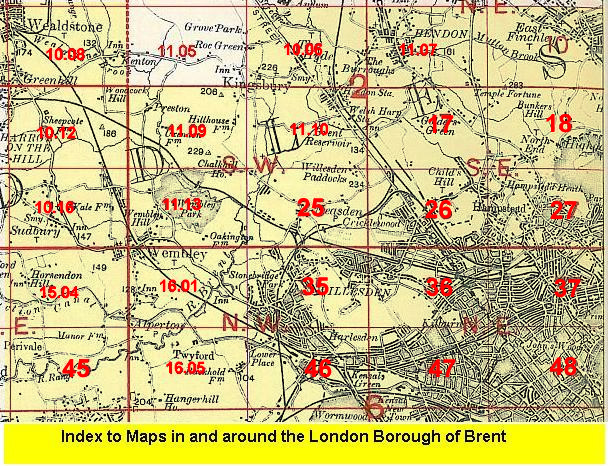 Follow this link for a list of our maps for the London Borough of Brent, or here for a complete list of our London maps .