
 Here are the details of maps for Hampstead:

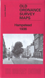
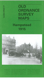
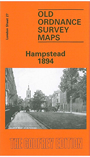
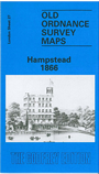
We have published four versions of this map, showing how the area developed across the years.
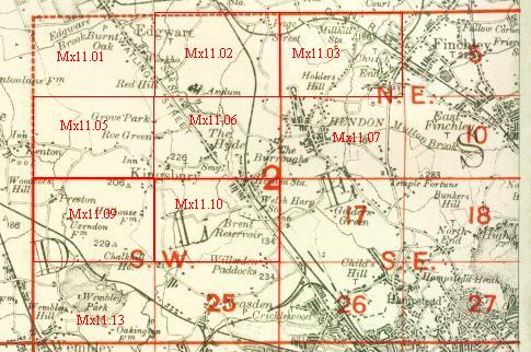
The maps each cover the same area, covering most of Hampstead Village and much of Hampstead Heath. Coverage extends from Finchley Road and Platts Lane eastward to Parliament Hill Road, and from Leg of Mutton Pond southward to Arkwright Road. Features include Hampstead High Street, Christ Church, Workhouse, Rosslyn Hill, Rosslyn Park, Hampstead Heath station, North Western Fever Hospital, Hampstead Ponds, East Heath, West Heath, Frognal Park, Westfield College, tramway to South End Green and depot, Fitzjohns Avenue, Vale of Health, West End. The 1915 map has a good selection of street directories. The 1866 map has an extract from an Old Series Inch to the Mile map for the area.
The map links up with London Sheets 18 Kenwood to the north, 26 Cricklewood to the west, 28 Gospel Oak to the east, 37 Swiss Cottage to the south.
 Follow this link for a complete list of our London maps .
You can order maps direct from our On-line Mapshop. For other information and prices, and other areas, go to The Index Page.
Maps in the Godfrey Edition are taken from the 25 inch to the mile map and reduced to about 15 inches to the mile. For a full list of maps for England, return to the England page.
Alan Godfrey Maps, Prospect Business Park, Leadgate, Consett, Co Durham, DH8 7PW / sales@alangodfreymaps.co.uk / 7 March 2019