
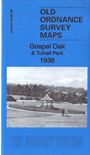
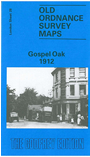
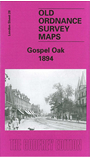
 Here are the details of maps for Gospel Oak:

We have published three versions of this map, showing how the area developed across the years.
The maps each cover the same area, stretching from Lismore Circus and Parliament Hill eastward to Yerbury Road and Carleton Road. The area known as Gospel Oak is in the SW area of the map, Tufnell Park is to the east, and Dartmouth Park further north.
Features on the maps incl much railway information with Gospel Oak, Highgate Road, Junction Road and Upper Holloway stations, locomotive sheds, junctions; also tramways, electric generating station. Streets include Fortress Road, Junction Road, Mansfield Road, York Rise, Brecknock Road, Highgate Road, Dartmouth Park Hill and countless others.
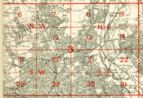
The map links up with Sheets 19 Highgate to the north, 27 Hampstead to the west, 29 Upper Holloway to the east, 38 Kentish Town to the south.
 Follow this link for a complete list of our London maps .
You can order maps direct from our On-line Mapshop. For other information and prices, and other areas, go to The Index Page.
Maps in the Godfrey Edition are taken from the 25 inch to the mile map and reduced to about 15 inches to the mile. For a full list of maps for England, return to the England page.
Alan Godfrey Maps, Prospect Business Park, Leadgate, Consett, Co Durham, DH8 7PW / sales@alangodfreymaps.co.uk / 7 March 2019