
 Here are the details of maps for St John's Wood & Maida Vale:

We have published four versions of this map, showing how the area developed across the years. The maps each cover the same area, Kilburn Park Road and Essendine Road eastward to Regents Park, and from Marlborough Road and St John's Wood Barracks southward to Marylebone station. They show the area developing across the years, a notable difference being the arrival of the Great Central Railway and Marylebone station, with its approaches, on the 1913 and 1937 maps. Lords Cricket Ground is in the centre of the map and other features include Hanover Terrace, Regents Park College, Blandford Square, St Dunstan's Villa, Sutherland Avenue, Maida Vale, St Augustine's church, Paddington Recreation Ground. The 1868 map is still largely undeveloped west of Portsdown Road. By 1937 the map is almost entirely built up, and Maida Vale Studios and Abbey Road Studios are already major musical centres. The four maps give a vivid picture of the area as it developed.
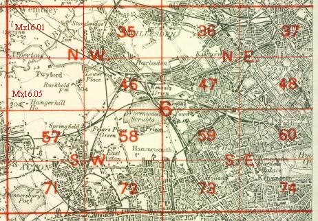
The map links up with London Sheets 37 Swiss Cottage to the north, 47 Kensal Green to the west, 49 Euston to the east, 60 Paddington to the south.
 Follow this link for a complete list of our London maps .