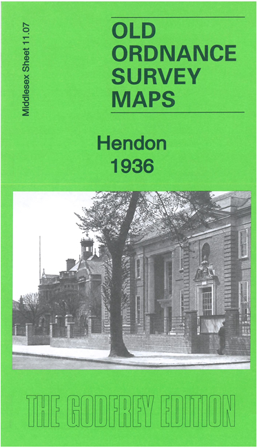
 Here is information about the map for Hendon:
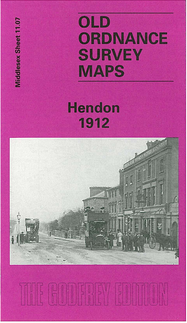
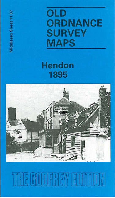

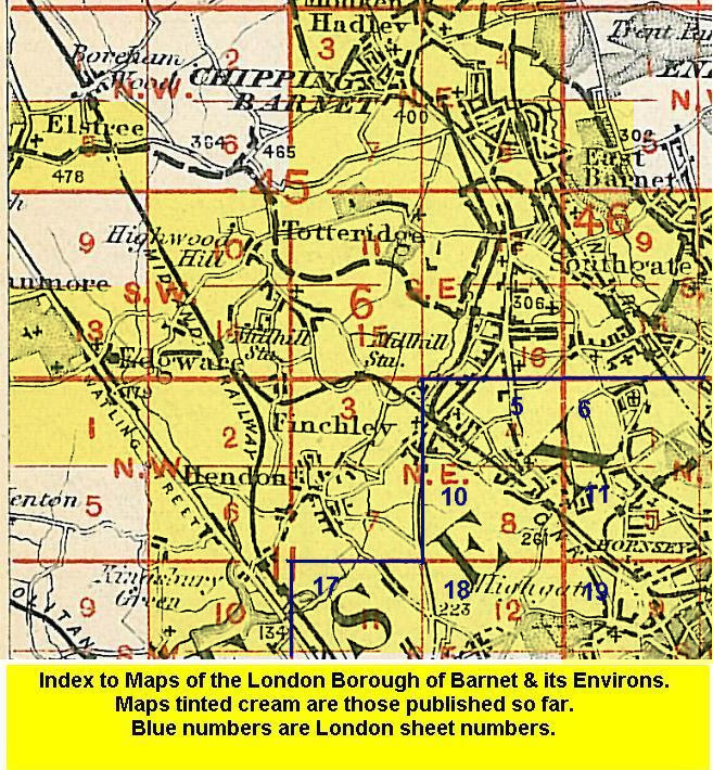
We have published three versions of this map, showing how the area developed across the years. The maps each cover the same area, stretching from The Burroughs eastward to Finchley Road, and from Waverley Grove and Fitzalan Road southward to Leeside Crescent and Temple Fortune.
Features (from the 1936 version) include Brent Park, The Decoy, Orpheum Theatre, section of Finchley Road, Brookside Walk, Brent Bridge Hotel, Princes Park, tramways, Finchley Bridge, College Farm, Carmelite Convent, Mutton Bridge, Bible College, Ambassador Theatre, bus depot, Town Hall, St Mary's Church, Nazareth House, schools, chapels etc
The map links up with Middlesex Sheets 11.03 Finchley & Holders Hill to the north, and 11.06 Kingsbury Green to the west; and with London Sheets 10 East Finchley to the east and 17 Golders Green to the south.