Old Ordnance Survey Maps of Golders Green


We have published more than 1,800 maps in our series of Old Ordnance Survey Map reprints, some 300 of them in the London area. The maps are highly detailed. They are taken from the OS 1:2,500 (or 25 inch) maps and reduced to about 15 inches to the mile. They show streets with individual houses, tram tracks, railway tracks and even signals, factories, wharves and such details as fountains and water troughs. They will provide hours of fascination for historians and genealogists. The maps are neatly folded and each includes a specially written introduction to the area. Maps can be purchased on our On-line Mapshop where further information about titles is given. For other information and prices, go to The Index Page.


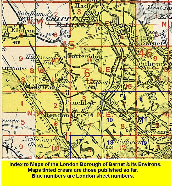
Here are the details of maps for Golders Green:
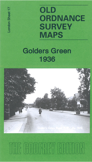
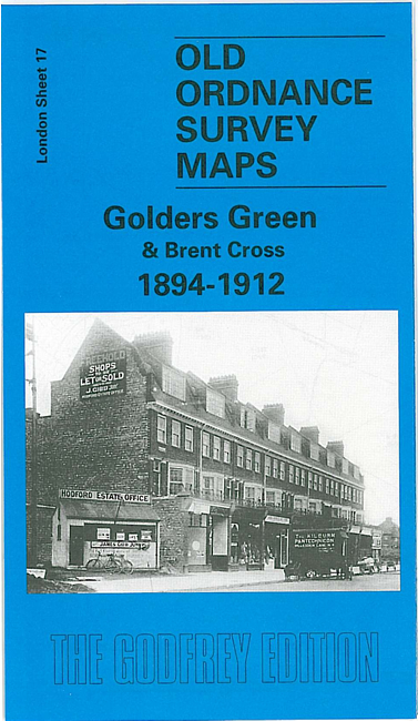
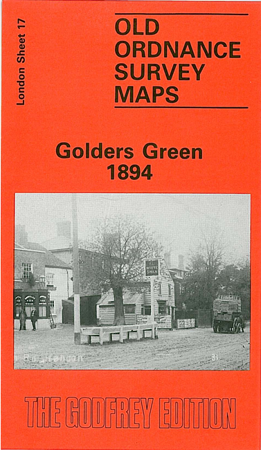
  • London Sheet 17.2 Golders Green 1894 - published 1988; introduction by Joanna Corden
  • London Sheet 17.3 Golders Green & Brent Cross 1894-1912 - published 1997; introduction by Pamela Taylor

    We have published two versions of this map, showing how the area developed across the years. It covers an area around and to the west of Golders Green, stretching from Brent Gas Works eastward to Hodford Farm, from Renters Farm southward to the northern tip of Child's Hill. (Note that Golders Green station is on the adjacent map, sheet 18.) In the first map the area is entirely rural, with just a few villas along North End Road; an isolated fever hospital is in the centre, along with sewage works, while Brent Junction and Brent Sidings are in the SW corner. On the reverse we include a large extract of the First Edition map of 1880.

    The later map is from the rare Special Edition 1912. This retains the information on the earlier map but shows development in outline form up to 1912; a very useful map as you can clearly see which houses are later. This map shows development at Golders Green with new streets and houses off Golders Green Road and Finchley Road; new streets include Woodstock Avenue, Montpelier Rise, Hamilton Road, Wentworth Road etc. This map has some street directory extracts on the back.

    An index map showing the areas covered by this and adjacent maps is available here. The map links up with Middlesex Sheets 11.07 Hendon to the north and 11.10 Welsh Harp to the west; and London Sheets 18 Kenwood to the east, 26 Cricklewood to the south


    Follow this link for a complete list of our London maps.

    You can order maps direct from our On-line Mapshop. For other information and prices, go to The Index Page.


    Maps in the Godfrey Edition are taken from the 25 inch to the mile map and reduced to about 15 inches to the mile. For a full list of maps for London, return to the London page

    The Godfrey Edition / godfreyedition@btinternet.com / 13 August 2005