
Old Ordnance Survey Maps of London
These detailed maps maps normally cover an area of about one and a half miles by one mile. Each map includes an introduction. The London maps link up with those for Middlesex to form a major series for the Greater London area. They
are available through our On-line Mapshop
 Here are the details of maps for Upton, Plashet & Forest Gate:
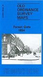
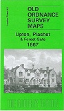
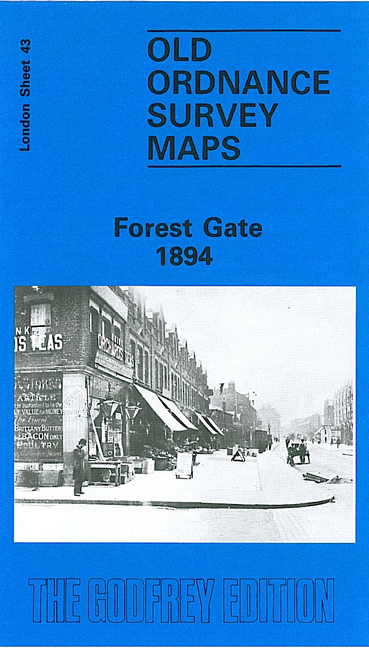
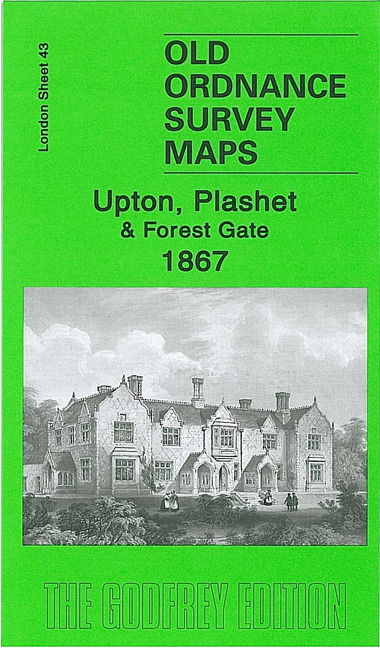
London Sheet 43.1 Upton, Plashet & Forest Gate 1867 - published 2006; intro by Tony Clifford. ISBN.978-1-84151-915-9  London Sheet 43.2 Forest Gate 1894 - published 1986; intro by Janice Brooker. ISBN.978-0-85054-139-7
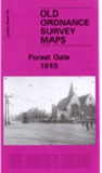
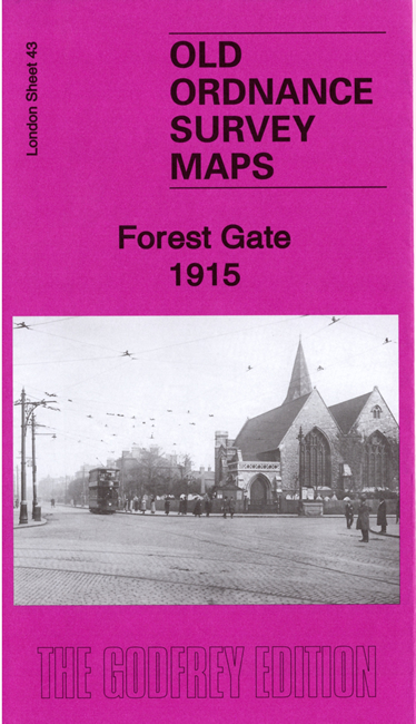
London Sheet 43.3 Forest Gate 1915 - published 2019; intro by Alan Godfrey. ISBN.978-1-78721-292-3
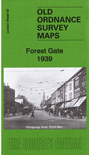
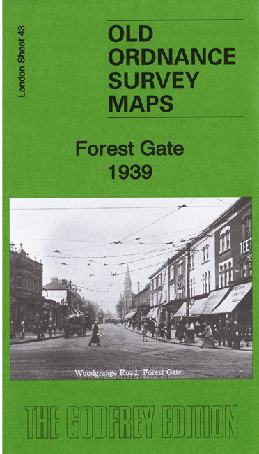
London Sheet 43.4 Forest Gate 1939 - published 2020; intro by Tony Kirby. ISBN.978-1-78721-309-8
London Sheet 43.2 Forest Gate 1894 - published 1986; intro by Janice Brooker. ISBN.978-0-85054-139-7
London Sheet 43.3 Forest Gate 1915 - published 2019; intro by Alan Godfrey. ISBN.978-1-78721-292-3
London Sheet 43.4 Forest Gate 1939 - published 2020; intro by Tony Kirby. ISBN.978-1-78721-309-8
We have published four versions of this map, showing how the area changed across the years. (The change in titles reflects the development of the area.)
The maps cover an area stretching from Fairland Road and West Ham Park eastward to Woodgrange Park Cemetery; from the GER railway and Forest Gate station
southward to Plashet Road.
The 1867 map shows a very rural area, principal features including Ham House and Ham Park, Plashet House, Plashet Hall, Pawnbrokers Almshouses, Woodgrange, and some
development around Forest Lane. Country lanes such as Gipsy Lane and Red Post Lane link Plashet with the Romford Road.
The 1894 map is more built up. Features now include Forest Gate School, Forest Gate Junction, Woodgrange Park station,
tramway along Romford Road,and the northern fringe of Upton Park. Churches include St Anthony's RC church, St James's Forest Lane,
All Saints Romford Road. Streets (many only half built up in 1894) include Romford Road, Red Post Lane, Earlham Grove, Gipsy Lane, Boleyn Road
and many more.
By the time of the 1915 and 1939 revisions the area is almost entirely built-up.
Each map includes selected extracts from a contemporary street directory together with a specially written introduction..
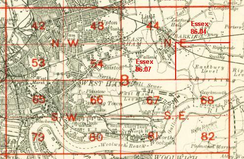
The map links up with Sheet 33 Wanstead Flats to the north, Sheet 42 Stratford to the
west, 44 East Ham to the east and 54 Plaistow to the south.
 Follow this link for a complete list of our London maps .
You can order maps direct from our On-line Mapshop.
For other information and prices, and other areas, go to The Index Page.
Follow this link for a complete list of our London maps .
You can order maps direct from our On-line Mapshop.
For other information and prices, and other areas, go to The Index Page.
Maps in the Godfrey Edition are taken from the 25 inch to the mile map and reduced to about 15 inches to the mile.
For a full list of maps for England, return to the England page.
Alan Godfrey Maps, Prospect Business Park, Leadgate, Consett, Co Durham, DH8 7PW / sales@alangodfreymaps.co.uk / 21 February 2020
 Here are the details of maps for Upton, Plashet & Forest Gate:
 Follow this link for a complete list of our London maps .