Old Ordnance Survey Maps of Fife

  • These detailed maps normally cover an area of about one and a half miles by one mile. Each map includes an introduction.
  • They are available through our On-line Mapshop

  • Here are the details of maps for North Queensferry:

  • Fifeshire Sheet 43.06 North Queensferry 1895 - published 2009; intro by Sandy Wilkie. ISBN.978-1-84784-315-9

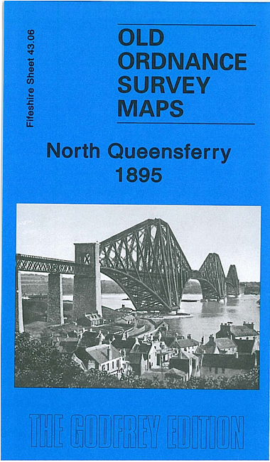
    This very detailed map covers the village of North Queensferry, at the Fife end of the Forth Bridge. Features include part of the Forth Bridge itself, NBR North Queensferry Branch with Railway Pier, Ferry Barns, Town Pier, Coastguard station, Beamer island, St Margarets. We include a 1918 trade directory of Inverkeithing (including North Queensferry) on the reverse.

    The map links up with sheet 43.02 Inverkeithing to the north.


  • Follow this link for a complete list of our Fife maps.
  • You can order maps direct from our On-line Mapshop. For other information and prices, and other areas, go to The Index Page.
  • Maps in the Godfrey Edition are taken from the 25 inch to the mile map and reduced to about 15 inches to the mile. For a full list of maps for Scotland, return to the Scotland page.
    The Godfrey Edition / sales@alangodfreymaps.co.uk / 7 February 2019