Old Ordnance Survey Maps of Fife

  • These detailed maps normally cover an area of about one and a half miles by one mile. Each map includes an introduction.
  • They are available through our On-line Mapshop

  • Here are the details of maps for Inverkeithing:

  • Fifeshire Sheet 43.02 Inverkeithing 1895 - published 2019; intro by Alan Godfrey. ISBN.978-1-78721-212-1

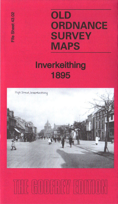
    This very detailed map is double-sided for maximum coverage. The north map covers the town centre, while the map to the south covers the harbour, inner bay, Cruicks area and southward to the Ferry Hills.

    Features include town centre with individual buildings neatly shown, parish church, Boreland, railway with station, Town Hall, Bellsknowes, U.P. church, Pinkerton Bridge, harbour, shipbuilding yard, The Shore, The Roods, paper mill, NBR North Queensferry Branch, railway to harbour, Cruicks Pottery, Jamestown, Castlandhill House, Limpet Ness, Ferry Hills, etc.

    The map links up with sheet 43.06 North Queensferry to the south.


  • Follow this link for a complete list of our Fife maps.
  • You can order maps direct from our On-line Mapshop. For other information and prices, and other areas, go to The Index Page.
  • Maps in the Godfrey Edition are taken from the 25 inch to the mile map and reduced to about 15 inches to the mile. For a full list of maps for Scotland, return to the Scotland page.
    The Godfrey Edition / sales@alangodfreymaps.co.uk / 9 February 2019